What is recorded here
On gentle SW-facing slope, close to road and adjacent to field fence. Natural ledge (0.9m X 0.4m) onto which water flows (now directed via pipe) from higher ground to NE. Some water collects in slight hollow on ledge, to a depth of 0.05m. According to information collected by Fr O'Donoghue in 1917, well was associated with Augeris church and graveyard (CO069-03802-; CO069-03801-) c. 300m to SW; rounds were made at well after visiting church (pers. comm. M. Uí Léime).
From the National Monuments Service (Archaeological Survey of Ireland) record CO069-084
Places near here
Photo credits
- National Inventory of Architectural Heritage
- mozzercork @ flickr, Wikimedia Commons · CC BY 2.0
- Willow, Wikimedia Commons · CC BY 2.5
- Richard Fensome, Geograph · CC BY-SA 2.0
- Alison Cassidy, Wikimedia Commons · CC BY-SA 4.0
- Bryan Conlon, Geograph · CC BY-SA 2.0
- A.-K. D., Wikimedia Commons · CC BY-SA 4.0
- Mike Searle, Wikimedia Commons · CC BY-SA 2.0
- Mike Searle, Geograph · CC BY-SA 2.0
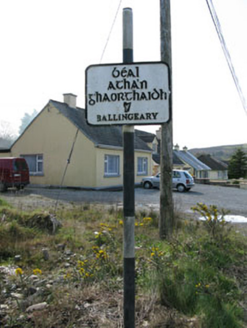 sign post1.2 mi
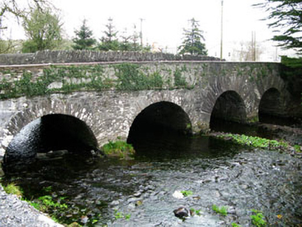 bridge1.5 mi
 Sli Gaeltacht MuscraiWalking route · 2.2 mi
 Gougane BarraValley and heritage place · 4.2 mi
 European ash4.3 mi
 Doughill MountainMountain / peak · 4.7 mi
 St Gobnets WellHoly well · 5.3 mi
 BealickMountain / peak · 5.4 mi
 CairnCairn, unclassified · 5.5 mi
 Battle of CallannBattle · 8.9 mi
 Carriganass CastleCastle · 10 mi
 Kealkill stone circleVisitor information · 11 mi
More archaeology and monuments in County Cork · All of County Cork
What do you know about this place?Tap to add a comment or ask a question