
What is recorded here
Freestanding cast-iron road sign, erected c.1940, comprising rectangular sign having rounded edges mounted on circular-profile pole with raised text and harp motif.
A notable example of early twentieth-century road furniture, this road sign has a simplicity and clarity of design typical of its time. Its functional nature is enhanced and emphasised by casting using capital letters in a clear simple font without serifs. The harp motif indicates a date of production after the foundation of the State.
This does not grant access. Most recorded buildings are privately owned; view them only from public ground unless the owner allows entry.
Places near here
 MillMill, fulling · 501 yd
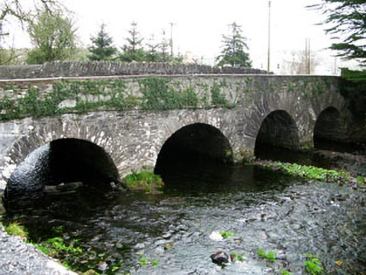 bridgebridge · 564 yd
 Ecclesiastical site in Kilmore (muskerry West By.)Ecclesiastical site · 1109 yd
 Wedge tomb in Céim ChorrbhuaileWedge tomb · 1602 yd
 MweelinMountain / peak · 2.8 mi
 CarriganineMountain / peak · 3.3 mi
 Sli Gaeltacht MuscraiWalking route · 3.4 mi
 Gougane BarraValley and heritage place · 3.7 mi
 European ashEuropean ash · 3.9 mi
 European long distance path E8 - part IrelandWalking route · 4.8 mi
 Gortnahoughtee Mass RockNamed rock · 4.8 mi
 CastleCastle, unclassified · 5.2 mi
Other information
Photo: National Inventory of Architectural Heritage · Website use allowed for educational or private purposes with source credit