
What is recorded here
The Archaeological Survey of Ireland (ASI) is in the process of providing information on all monuments on The Historic Environment Viewer (HEV). Currently the information for this record has not been uploaded. To access available information for research purposes please make an appointment in advance with the Archive Unit (open Fridays 10.00 am – 5.00 pm), Department of Housing, Local Government and Heritage, The Custom House, Dublin 1 D01W6XO or email NMarchive@housing.gov.ie.
The monument record does not grant public access. Check the route and ask the landowner before entering private land.
- What survives
- Recorded monument
Places near here
 sign postsign post · 501 yd
 Ecclesiastical site in Kilmore (muskerry West By.)Ecclesiastical site · 648 yd
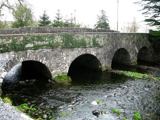 bridgebridge · 668 yd
 Enclosure in EachrosEnclosure · 1666 yd
 MweelinMountain / peak · 3.0 mi
 CarriganineMountain / peak · 3.1 mi
 Sli Gaeltacht MuscraiWalking route · 3.5 mi
 Gougane BarraValley and heritage place · 3.9 mi
 European ashEuropean ash · 4.1 mi
 Gortnahoughtee Mass RockNamed rock · 4.5 mi
 European long distance path E8 - part IrelandWalking route · 4.7 mi
 Port Ban Nature Reserve, Irish Wildlife TrustNature reserve · 5.1 mi
Other information
Photo: Credit not shown in the picture search · Rights wording not checked; contact us if this picture should be removed