What is recorded here
This monument was reported to the Archaeological Survey of Ireland by Tony Miller on 28th January 2013. He describes it as follows: "this is a possible rath, situated on a level terrace on a south facing slope overlooking the village of Ballingeary and Lough Allua. To the north the land slopes up towards the ridge at…
Read the whole record
From the National Monuments Service (Archaeological Survey of Ireland) record CO081-053
Places near here
Photo credits
- National Inventory of Architectural Heritage
- Kmcnamee, Wikimedia Commons · CC BY-SA 4.0
- Maker not stated on source page, commons.wikimedia.org
- Maker not stated on source page, www.pinterest.com
- Maker not stated on source page, www.tripadvisor.ru
- mozzercork @ flickr, Wikimedia Commons · CC BY 2.0
- Andrew Wood, Wikimedia Commons · CC BY-SA 2.0
- Willow, Wikimedia Commons · CC BY 2.5
- Maker not stated on source page, www.alamy.com
- Maker not stated on source page, www.gpsmycity.com
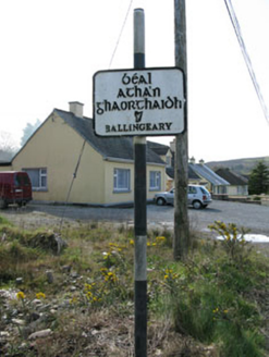 sign post1646 yd
Explorer Tom Sign post in Gorteennakilla has a harp motif because apparently, even traffic signs need a little Irish flair. It’s got…
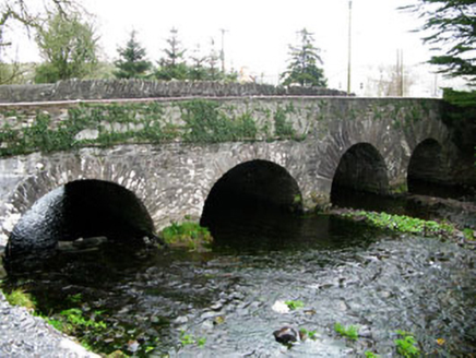 bridge1.2 mi
Explorer Tom Bridge in Dromanallig exhibits fine local craftsmanship from the late eighteenth century and is located near…
 Béal Athan Ghaorthaidh GAA pitchGAA ground · 1.2 mi
 Wedge tomb in Gort Na BinneWedge tomb · 1.3 mi
Explorer Tom Wedge tomb in Gort Na Binne has capstones lying around like discarded plates after a very messy medieval dinner. The…
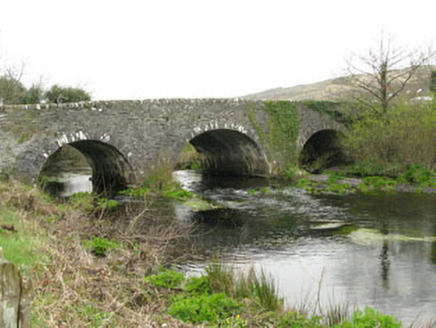 Inchinossig BridgeBridge · 1.7 mi
Explorer Tom Inchinossig Bridge thinks tourists from Dublin are all talk and no walk. Built by local craftsmen in local stone, it’s…
 Anomalous stone group in Dooneens (muskerry West By., Inchigeelagh Par.)Anomalous stone group · 3.9 mi
Explorer Tom Anomalous stone group in Dooneens is a linear cairn inside a sub-circular setting. Saint Patrick would have called it…
 Standing stone in Dooneens (muskerry West By., Inchigeelagh Par.)Standing stone · 4.0 mi
Explorer Tom A possible standing stone in Dooneens is barely half a meter tall, probably describing the 1800s to a teenager as 'very…
 Gougane BarraValley and heritage place · 4.4 mi
Explorer Tom I came to Gougane Barra for a quiet minute. Cork laid out an entire valley. Gougane Barra manages to squeeze a lake, an…
 Aireagal Naomh Finbarr [Saint Finbarr's Oratory]Church/chapel · 4.5 mi
Explorer Tom Aireagal Naomh Finbarr is on a tiny island at the source of the River Lee. Built in 1903, it’s very Celtic Revival and…
 European ash4.5 mi
Explorer Tom European ash in Cork is terrified of dying young, so it's overthinking everything. If it won the lotto, it would buy a…
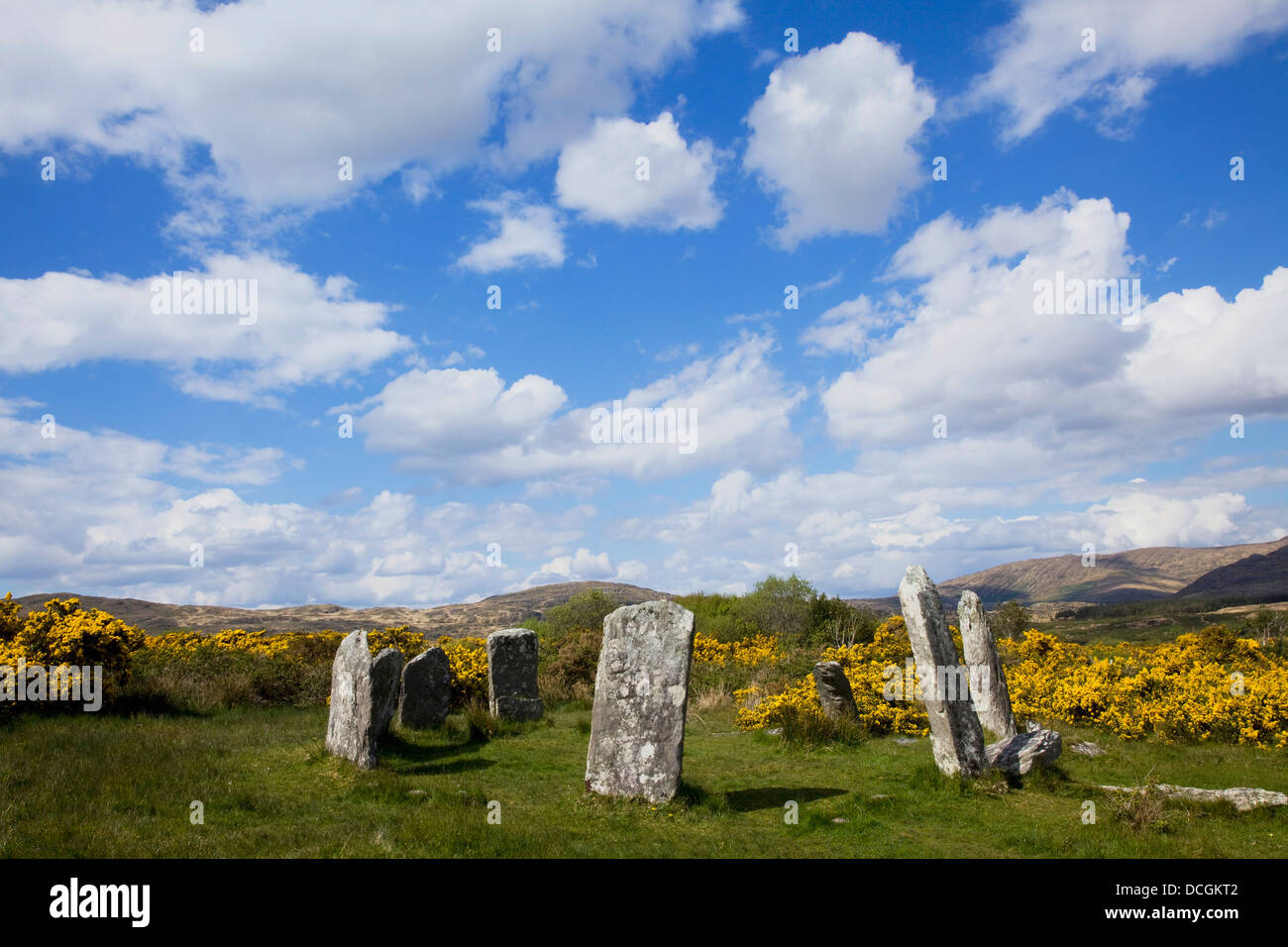 Stone CircleStone circle, five-stone · 6.8 mi
Explorer Tom Stone Circle in Cappaboy Beg has five stones with an internal measurement of 2.3m. It’s small enough to fit a few…
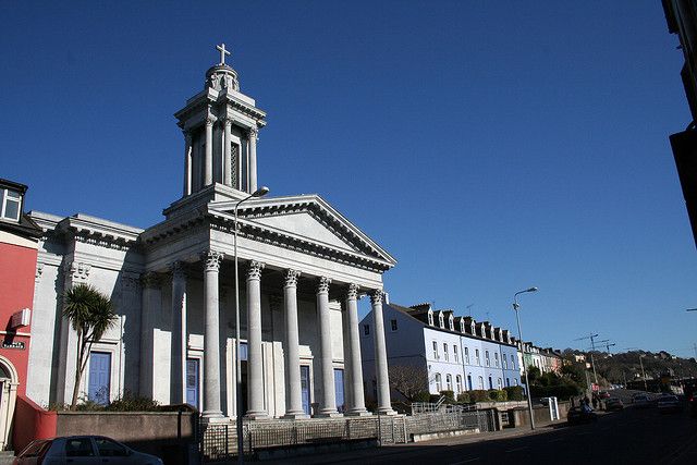 Catholic ChurchChurch · 18 mi
Explorer Tom Catholic Church in Farrankeal sits right next to the fair green, so it's probably seen some wild characters over the…
More archaeology and monuments in County Cork · All of County Cork

What do you know about this place?Tap to add a comment or ask a question