
What is recorded here
Kilmore Church stood beside a buried passage and a graveyard called Cill Ronain, marking an early religious enclosure on a southern slope. Jerry O'Sullivan exposed stake holes, deep pits and charcoal lenses in May 1989 when a drainage trench cut through the pasture. The townland name, nearby burial ground and extensive remains suggest worship, craft and memory once occupied that ordinary-looking field.
In pasture, on S-facing slope. During investigation of drainage trench in the course of land reclamation, in May 1989, Jerry O'Sullivan (UCC) noted 'stake holes, large pits and charcoal lenses' visible in sides of trench, extending c. 48m to N and c. 14m to S of Man-made underground passage (CO081-035----); delimited to N by 'one large deep feature'. Townland name, presence of burial ground (CO081-003----) c. 55m to ESE and extent of occupation associated with Man-made underground passage suggests that site may have been that of an early ecclesiastical enclosure. Burial ground known locally as 'Cill Ronain' (St Ronan's church) (Uí Leime 1993, 15).
The above description is derived from the published 'Archaeological Inventory of County Cork. Volume 3: Mid Cork' (Dublin: Stationery Office, 1997). In certain instances the entries have been revised and updated in the light of recent research.
Date of upload/revision: 14 January 2009
The monument record does not grant public access. Check the route and ask the landowner before entering private land.
- What survives
- Recorded monument
Places near here
 MillMill, fulling · 648 yd
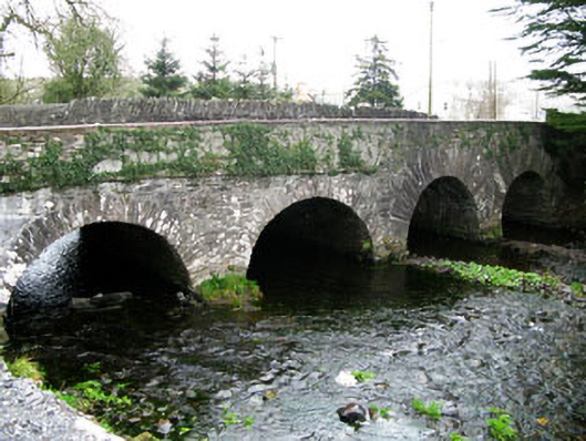 bridgebridge · 960 yd
 Enclosure in EachrosEnclosure · 1.2 mi
 RathgaskigFairy fort / earthen ringfort · 1.4 mi
 CarriganineMountain / peak · 2.8 mi
 Mount ProspectMountain / peak · 3.2 mi
 Sli Gaeltacht MuscraiWalking route · 3.7 mi
 Gougane BarraValley and heritage place · 4.1 mi
 Gortnahoughtee Mass RockNamed rock · 4.2 mi
 European ashEuropean ash · 4.3 mi
 European long distance path E8 - part IrelandWalking route · 4.8 mi
 Carrignacurra CastleCastle · 4.9 mi
Other information
Photo: Credit not shown in the picture search · Rights wording not checked; contact us if this picture should be removed