
What is recorded here
The fortified house that was known as Essex castle (MO031-034----) was built by the second earl of Essex in 1628-33, and became the core of Carrickmacross town. A drawing of the castle from 1734 and published by Shirley (1845, 112) shows the castle overlooking the river with a two-arched bridge, a mill and a well nearby. The core of this bridge could survive within the wide bridge complex (Wth c. 20m) now leading across the NW-SE stream to Castle Street and the Main Street of Carrickmacross. Castle Street is partly excavated into the side of the valley, and the limestone walls retaining the slope have numerous graffiti commemorating historical events.Archaeological monitoring (08E0260) for a sewage scheme in Carrickmacross identified very few archaeological features and these were largely post-medieval walls. Two such walls and three culverts were encountered S of the bridge at the junction of Mullinary Road and Magheross Road (Delaney 2011, 2012).
The above description is derived from the published 'Archaeological Inventory of County Monaghan' (Dublin: Stationery Office, 1986). In certain instances the entries have been revised and updated in the light of recent research.
Date of revision: 31 July 2017
Amended: 16 January 2020
The monument record does not grant public access. Check the route and ask the landowner before entering private land.
- What survives
- Recorded monument
Places near here
 Tober InverHoly well · 53 yd
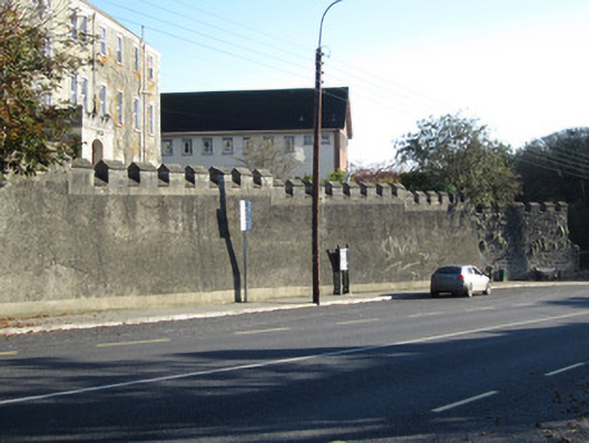 Convent of Saint Louisgates/railings/walls · 78 yd
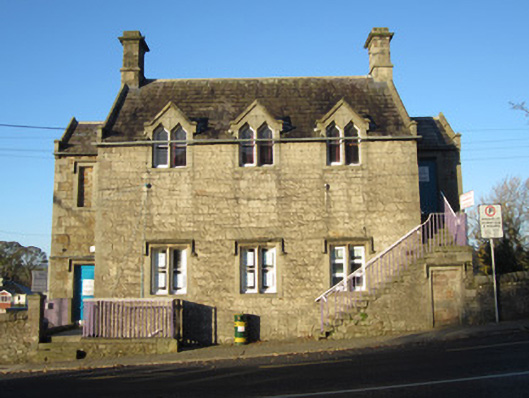 Magheross Schoolschool · 104 yd
 CrossCross, Churchyard cross · 155 yd
 Horse-chestnutHorse-chestnut · 1272 yd
 European BeechEuropean Beech · 1464 yd
 Mannan Castle (in ruins)Castle, Anglo-Norman masonry castle · 2.6 mi
 TobernagalliaghSpring · 3.4 mi
 Drumerlough MoreMountain / peak · 4.2 mi
 Flat cemetery in AnnaheanFlat cemetery · 4.3 mi
 BarleyhillMountain / peak · 4.7 mi
 Natural Play AreaMemorial · 4.8 mi
Other information
Photo: Credit not shown in the picture search · Rights wording not checked; contact us if this picture should be removed