
What is recorded here
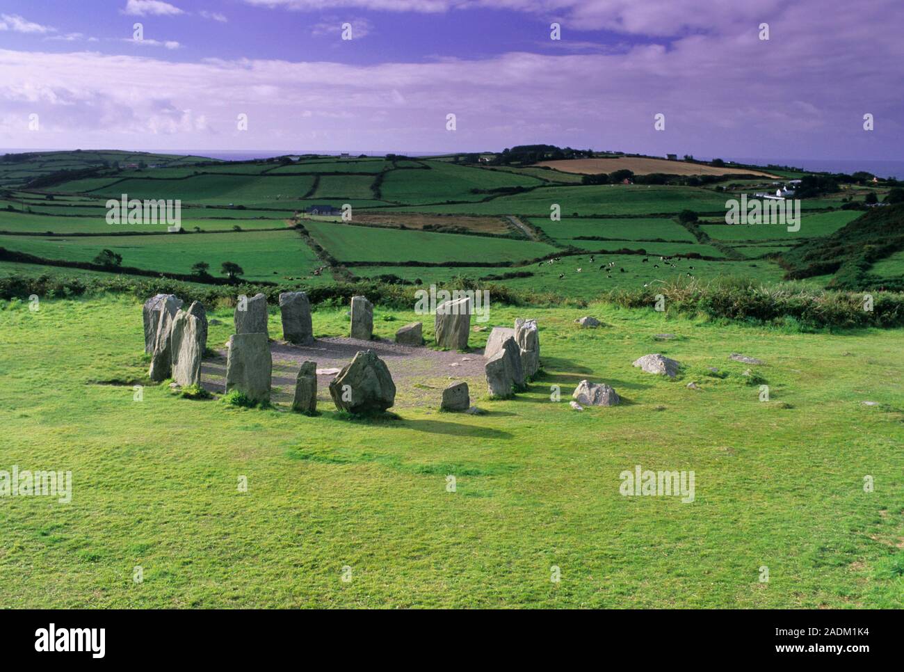
From the National Monuments Service (Archaeological Survey of Ireland) record CO133-009
Places near here
Photo credits
- Maker not stated on source page, www.alamy.com
- Maker not stated on source page, readymap.irish
- Maker not stated on source page, www.dreamstime.com
- Maker not stated on source page, www.pinterest.com
- Maker not stated on source page, tr.pinterest.com
- National Inventory of Architectural Heritage
- Graham Horn, commons.wikimedia.org
 Standing stone in Driminidy SouthStanding stone · 1423 yd
Explorer Tom Standing stone in Driminidy South overlooks a river valley and has a smaller friend leaning against it like a drunk…
 Church in DromduvaneChurch · 1638 yd
Explorer Tom Church in Dromduvane had its stones removed around 1935 because apparently they were useful for building fences. No…
 Fairy fort / earthen ringfort in Carrigbaun (carbery West (e.d.) By.)Fairy fort / earthen ringfort · 1.3 mi
Explorer Tom Fairy fort / earthen ringfort in Carrigbaun By.) is a small circle with a bank that only goes partway around. The field…
 CastleCastle, unclassified · 2.0 mi
Explorer Tom Castle in Coornishal is mentioned in a 17th-century grant but that's literally all we know about it. It could be…
 Fairy fort / earthen ringfort in MaulnaskehaFairy fort / earthen ringfort · 2.0 mi
Explorer Tom Fairy fort / earthen ringfort in Maulnaskeha is defined by a steep scarp on the north side. Field boundaries are…
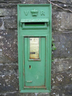 post box2.5 mi
Explorer Tom Post box in Derreeny has a Queen Victoria monogram and crown motif set into a rubble stone wall from 1890. It’s a…
 Derreeney BridgeBridge · 2.5 mi
Explorer Tom Derreeney Bridge: This fine bridge is showing off its skilled craftsmanship like it built the Taj Mahal. Locals swear a…
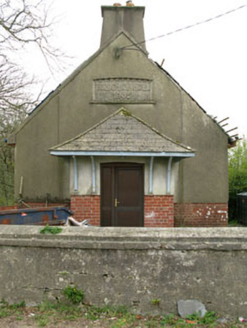 Parochial HallOfficially recorded historic building · 2.5 mi
Explorer Tom Parochial Hall in Baurnahulla is standing empty and brooding outside Drimoleague. Built in 1906 with some Arts and…
 Clann na nGael GAA pitchGAA ground · 2.6 miFairy fort / earthen ringfort in Milleennahorna (carbery West (e.d) By.)Fairy fort / earthen ringfort · 2.7 mi
Explorer Tom Fairy fort / earthen ringfort in Milleennahorna By.) has a three-metre bank that is basically saying 'don't touch my…
Fairy fort / earthen ringfort in Cullenagh (carbery W. (e.d.) By.)Fairy fort / earthen ringfort · 3.8 miExplorer Tom Fairy fort in Cullenagh By has a gap to the north and the bank is eroded badly. A roadway cuts into it too. It looks…
 Tooreennasillane WoodWood · 4.3 mi
Explorer Tom Tooreennasillane Wood nearly got sold to a horse farmer in the eighties because he thought it looked like a very large…
More archaeology and monuments in County Cork · All of County Cork

What do you know about this place?Tap to add a comment or ask a question