What is recorded here
Situated on a fairly level landscape. It is depicted as a circular tree-ring on the 1836 and 1912 editions of the OS 6-inch map, and is visible as an enclosure defined by at least two fosse features on Google Earth (24/03/2017; 17/01/2020). See the attached view from Google Earth 17//01/2020)
Compiled by: Michael Moore
Date of upload: 27 February 2019
From the National Monuments Service (Archaeological Survey of Ireland) record ME023-021
The monument record does not grant public access. Check the route and ask the landowner before entering private land.
- What survives
- Recorded monument
Places near here
Photo credits
- National Inventory of Architectural Heritage
- Kieran Campbell, Geograph · Creative Commons Attribution-ShareAlike 2.0
- Garry Dickinson, Geograph · CC BY-SA 2.0
- surrealpenguin, Wikimedia Commons · CC BY-SA 2.0
- Sitomon, Wikimedia Commons · CC BY-SA 2.0
- Bob Embleton, Geograph · CC BY-SA 2.0
- Mike Searle, Geograph · CC BY-SA 2.0
Causey FarmHeritage attraction · 1267 ydFarmaphobiaHeritage attraction · 1288 yd Drewstown HouseStables · 1381 ydDrewstown HouseCountry house · 1388 ydBoglandMemorial · 1541 ydDrewstown LittleMountain / peak · 1710 ydGrave YardGraveyard · 2.7 miCastleCastle, motte · 3.1 miPersian Walnut4.1 miEuropean Yew4.2 miStanding stone in Balnagon UpperStanding stone · 4.3 miFraine CastleCastle, tower house · 4.5 mi
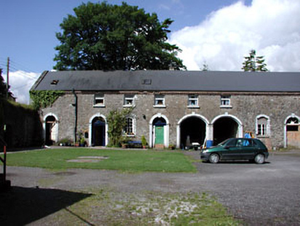 Drewstown HouseStables · 1381 yd
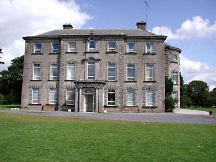 Drewstown HouseCountry house · 1388 ydBoglandMemorial · 1541 ydDrewstown LittleMountain / peak · 1710 yd
 Grave YardGraveyard · 2.7 mi
 CastleCastle, motte · 3.1 mi
 Persian Walnut4.1 mi
 European Yew4.2 mi
 Standing stone in Balnagon UpperStanding stone · 4.3 mi
 Fraine CastleCastle, tower house · 4.5 mi
More archaeology and monuments in County Meath · All of County Meath
What do you know about this place?