What is recorded here
Indicated is a stone ringfort in County Cork, Ireland. It occupies a south-facing slope and contains a small lintelled chamber. Its wall has collapsed in places, but the circular shape and cultivation ridges remain visible in the pasture.
In pasture, on S-facing slope. Circular area (22m N-S; 24m E-W) enclosed by stone wall (H 1.4m; T 2m); collapsed externally NE->SW and NW->N; entrance (Wth 2m) to SE. Rectangular chamber (1.7m x 1.05m; H 0.9m) within wall to E; access through lintelled ope (H 0.4m; Wth 0.4m) on inner wall face. Interior level; raised on S side to compensate for hillslope; remains of cultivation ridges run N-S.
The above description is derived from the published 'Archaeological Inventory of County Cork. Volume 3: Mid Cork' (Dublin: Stationery Office, 1997). In certain instances the entries have been revised and updated in the light of recent research.
Date of upload/revision: 14 January 2009
The monument record does not grant public access. Check the route and ask the landowner before entering private land.
- What survives
- Recorded monument
Places near here
 Architectural fragment in An Sliabh RiabhachArchitectural fragment · 903 yd
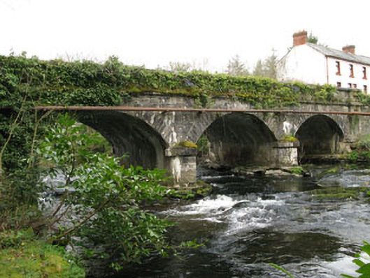 bridgebridge · 1234 yd
 IndicatedDesigned landscape, belvedere · 1240 yd
 Cascade WoodWood · 1446 yd
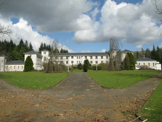 Coláiste Íosagáinschool · 1669 yd
 Castle (Site of)Castle, unclassified · 1669 yd
 Kealaboane WoodWood · 1.6 mi
 CastleCastle, unclassified · 1.9 mi
 KnockacommeenMountain / peak · 2.5 mi
 European long distance path E8 - part IrelandWalking route · 2.5 mi
 Cnoc na nUlánMountain / peak · 2.8 mi
 Sli Gaeltacht MuscraiWalking route · 3.3 mi