
What is recorded here
Indicated stands in Ballyvourney as a mid-19th-century belvedere, its projecting battlements and gabled corner built to command the surrounding land. The Colthurst family may have raised it beside their country house, but fire took both in the 1920s, leaving only the tower to witness the loss. It still carries local names for a court house and police barracks, blending memory and fact into one stubborn shape.
In Ballyvourney, mid 19th-century 3-storey tower with projecting battlements supported by corbels; rectangular in plan with 2-bay, 2-storey, gabled projection from NE corner. Known locally as 'Court House' and 'Police Barracks' (Healy, 1988, 20). Tower sited just beyond L-shaped range shown as 'Police Barracks' on 1842 OS 6-inch map. In mid-19th century, Colthurst family built country house to S; may have built tower at same time. House and tower burnt in 1920s; house subsequently demolished.
The above description is derived from the published 'Archaeological Inventory of County Cork. Volume 3: Mid Cork' (Dublin: Stationery Office, 1997). In certain instances the entries have been revised and updated in the light of recent research.
Date of upload/revision: 14 January 2009
The monument record does not grant public access. Check the route and ask the landowner before entering private land.
- What survives
- Recorded monument
Places near here
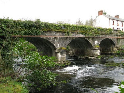 bridgebridge · 112 yd
 Cascade WoodWood · 275 yd
 Architectural fragment in An Sliabh RiabhachArchitectural fragment · 337 yd
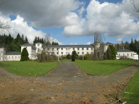 Coláiste Íosagáinschool · 430 yd
 Castle (Site of)Castle, unclassified · 433 yd
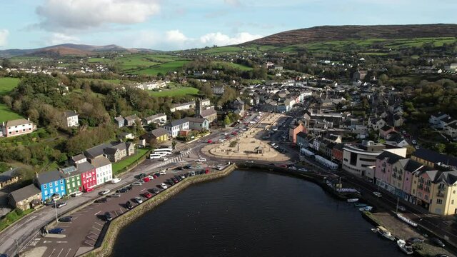 Fulacht fia in Gort Na TiobratanFulacht fia · 1012 yd
 Kealaboane WoodWood · 1690 yd
 CastleCastle, unclassified · 1.7 mi
 Cnoc na nUlánMountain / peak · 2.3 mi
 KnockullaneMountain / peak · 2.3 mi
 European long distance path E8 - part IrelandWalking route · 2.3 mi
 Sli Gaeltacht MuscraiWalking route · 3.7 mi
Other information
Photo: Credit not shown in the picture search · Rights wording not checked; contact us if this picture should be removed