
What is recorded here
Carraig an Chaisleáin still stands on a steep rocky hillock above the Bohill River, though conifers and ivy have swallowed most of the castle the O Herlihy's built there. What remains is a short north wall, a line of southern debris and the kind of absence that makes you imagine hands stacking stone before the mountain took the work back.
On top of a steep-sided rocky hillock, on W bank of Bohill River. Hillock planted with conifers; known locally as "Carraig an Chaisleáin" (Castle Rock). Flattish overgrown top has short ivy-clad section of walling (H 1.3m; Wth 1.4m) along N side; c. 7m to S line of debris may be remains of fallen wall; otherwise no visible trace of castle. Castle apparently built by the O Herlihy's (Healy 1988, 20, 69).
The above description is derived from the published 'Archaeological Inventory of County Cork. Volume 3: Mid Cork' (Dublin: Stationery Office, 1997). In certain instances the entries have been revised and updated in the light of recent research.
Date of upload/revision: 14 January 2009
This remains an important historical record, but the official description says the monument is no longer visible or has been destroyed. The monument record does not grant public access. Check the route and ask the landowner before entering private land.
- What survives
- No visible remains or recorded as destroyed
Places near here
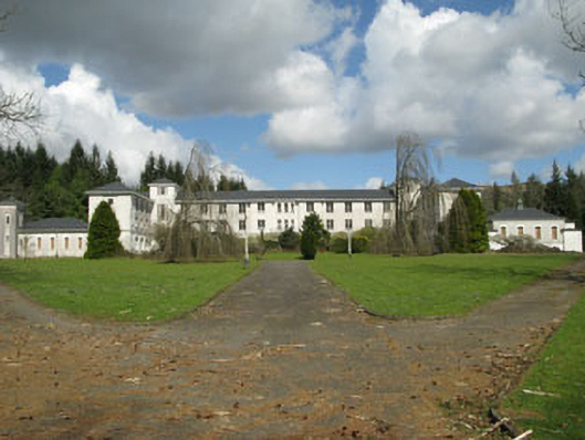 Coláiste Íosagáinschool · 89 yd
 Cascade WoodWood · 271 yd
 IndicatedDesigned landscape, belvedere · 433 yd
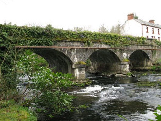 bridgebridge · 472 yd
 Architectural fragment in An Sliabh RiabhachArchitectural fragment · 767 yd
 Kealaboane WoodWood · 1456 yd
 CastleCastle, unclassified · 1.7 mi
 Cnoc na nUlánMountain / peak · 2.1 mi
 KnockullaneMountain / peak · 2.1 mi
 European long distance path E8 - part IrelandWalking route · 2.4 mi
 Sli Gaeltacht MuscraiWalking route · 3.9 mi
 Ballyvourney Bridgebridge · 867 yd
Other information
Photo: Credit not shown in the picture search · Rights wording not checked; contact us if this picture should be removed