What is recorded here
In pasture, on a low rise in undulating terrain, with good but not extensive views.
A rectangular enclosure bordered at SW by a NW−SE road is shown on the 1838 OS 6-inch map; a hachured roughly D-shaped area, bordered on the straight side at SW by the road, is shown on the 1916 edition.
The enclosure was visited by Knox (1911, 337) who described this as a slightly raised ‘D-shaped earthwork’ defined by a slight bank, enclosed externally by a fosse with a ‘trivial bank on the outside’.
A D-shaped area (30.5m NNW–SSE; 16.5m ENE–WSW to the road) is defined on the curving side at NNW–S by a scarp (Wth slope 2.6m; ext. H 0.9m) with an external fosse (Wth 1.8-2m), and on the straight side to SW by a field fence bordering a road.
The scarp retains a low internal rim in parts at NNW–E. The fosse is visible only as a slight depression, most distinct at NNW–E and petering out to S. The interior is very slightly raised. A matching rise in ground level is evident in the road bordering the enclosure, suggesting that the road may have truncated the W half the enclosure.
Hazel and blackthorn bushes ring the perimeter and encroach on the interior. It is known locally as ‘The Lisheen’ (Waldron 1995, 12-13).
Compiled by: Jane O’Shaughnessy
Date of upload: 29 June 2022
A local fairy fort (ringfort/rath); wider significance not recorded.
The monument record does not grant public access. Check the route and ask the landowner before entering private land.
- What survives
- Recorded monument
Places near here
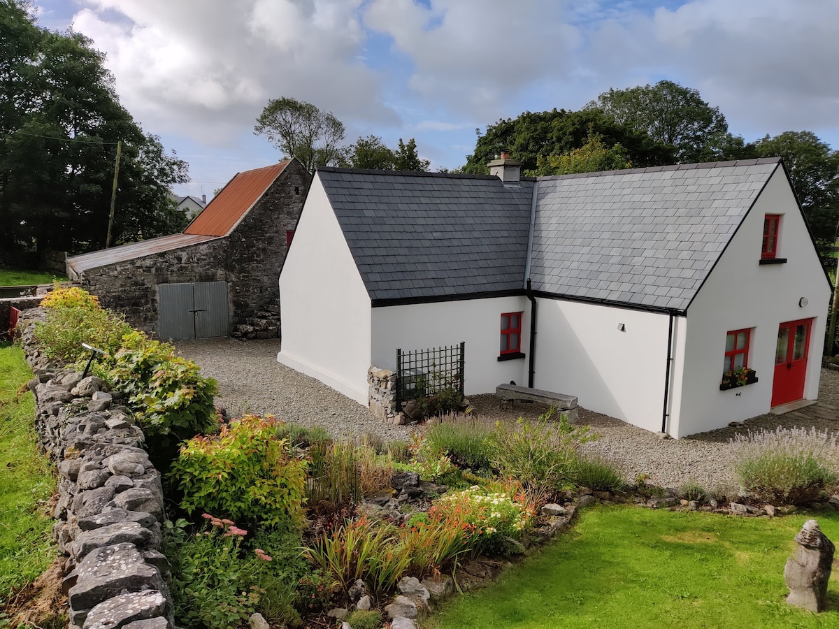 Enclosure in DevlisEnclosure · 161 yd
 Ballyhaunis Railway Stationbuilding misc · 507 yd
 bridgebridge · 591 yd
 Enclosure in KilmanninEnclosure · 1624 yd
 CastleCastle, unclassified · 4.9 mi
 Rath Castle in ruinsCastle, tower house · 6.3 mi
 East Mayo Brigade MonumentMemorial · 8.2 mi
 Oak WoodForest · 10 mi
 Geoffrey's WoodForest · 11 mi
 Kiltimagh MuseumMuseum · 12 mi
 Site of Killomaine Grave YardArchaeological place · 14 mi
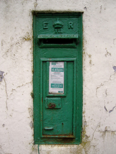 post boxpost box · 735 yd