What is recorded here
Located on a low E-W ridge. The house (ME043-011----) is situated at the NW angle of a large grass-covered enclosure or bawn (dims c. 50m N-S; c. 30m E-W) defined on all sides except the N by earthen banks (at W: Wth 8m; H 0.8-1m) and external fosses or hollow ways (at S: Wth of top 5.5m; D 0.5m). The field system (ME043-012----) extended around the house E-S-W but all the remains were removed c. 2013 (Bing).
From the National Monuments Service (Archaeological Survey of Ireland) record ME043-011001
The monument record does not grant public access. Check the route and ask the landowner before entering private land.
- What survives
- Recorded monument
Places near here
Photo credits
- National Inventory of Architectural Heritage
- Tim Wilson, Geograph · CC BY-SA 2.0
- Skarldrums, Wikimedia Commons · CC BY-SA 4.0
- Willow, Wikimedia Commons · CC BY 2.5
- C O'Flanagan, Geograph · CC BY-SA 2.0
- C O'Flanagan, Geograph · Creative Commons Attribution-ShareAlike 2.0
- Billy Irwin, Wikimedia Commons · CC BY-SA 2.0
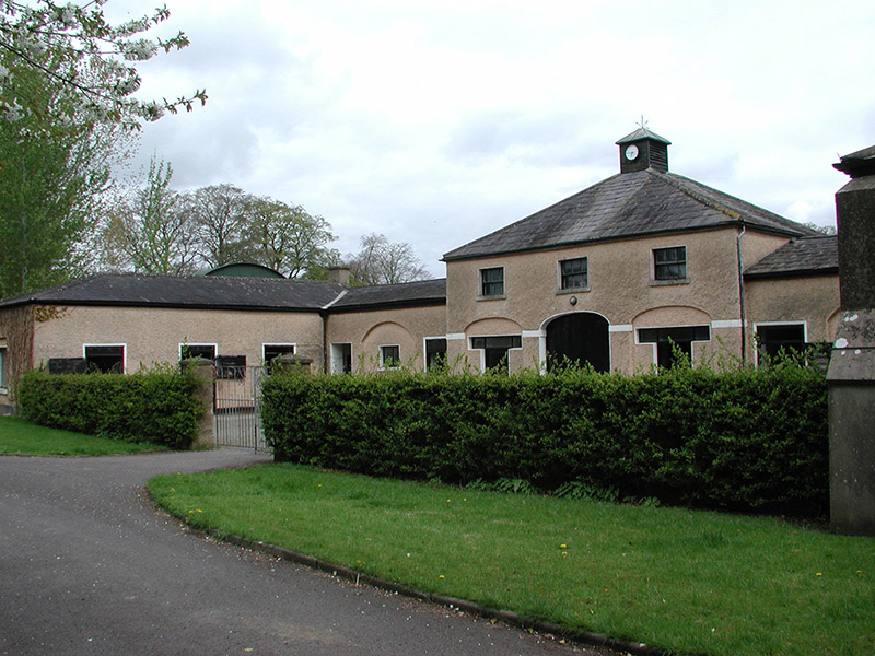 Galtrim HouseStables · 1.5 mi
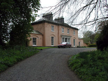 Galtrim HouseCountry house · 1.5 miRailway Woods (North)Forest · 2.5 mi
 Dunsany CastleCastle, unclassified · 3.0 mi
 Dunsany CastleCastle · 3.0 mi
 European ash3.1 mi
 Dunsany CrossCross, Wayside cross · 3.2 miMullaghMountain / peak · 3.5 mi
 IndicatedGraveyard · 3.8 mi1798 MemorialMemorial · 4.2 miLarchil Arcadian GardensHeritage attraction · 4.3 mi
 Trim CastleVisitor information · 6.1 mi
More castles and forts in County Meath · All of County Meath
What do you know about this place?