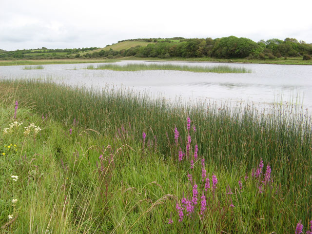
What is recorded here
Nearly in the centre of Derragh Lough. This almost circular high-cairn crannog (c. 33m E-W; 18m N-S) rises 2.22m high above the muddy lake-bed and is overgrown with trees and other vegetation. It is surrounded by reeds and aspect from the crannog is limited in all directions. Slightly off-centre to the NE is a raised cairn (14m N-S; 13m E-W): a possible house structure. Samples from two horizontal timbers set in the cairn on the NE side yielded dendrochronological dates of AD 972 +/- 9 or later (Q10389) and AD 1023 +/- 9 or later (Q10391) and it is suggested that these may represent activity involved in building the cairn. The cairn is surrounded by a raised plateau, at the NW edge of which is a concentration of overlapping stones that may be a possible harbour feature. A further concentration of boulders and flagstones at the W edge of the plateau is considered to be a breakwater. The band of reeds around the crannog stretches out c. 9-10m in all directions. It is not clear to what degree the reeds best correspond with the crannog proper. A total of 37 timbers were located below the water level along the W, NW and N sectors of the monument: no timbers were found along the S perimeter. Most of these were of oak and had been laid in a radial pattern though a significant number running parallel to the crannog was also identified and appeared to sit on brushwood matting. A number of vertically set timbers were also found on the W side of the crannog though an underwater survey did not reveal any evidence for a palisade. The timbers yielded dendrochronological dates from the late 10th to the mid-11th centuries AD. A copper-alloy strap end or belt chape and a slash-hook were recovered from the site (Fredengren et al. 2010, 145-50). (O'Donovan 2002, 26; Fredengren 2004c; Moore 2007, No. 11)
Compiled by: Christina Fredengren, Paul Walsh
Date of upload: 13 January 2013
The monument record does not grant public access. Check the route and ask the landowner before entering private land.
- What survives
- Recorded monument
Places near here
 Crannog in Derragh LoughCrannog · 331 yd
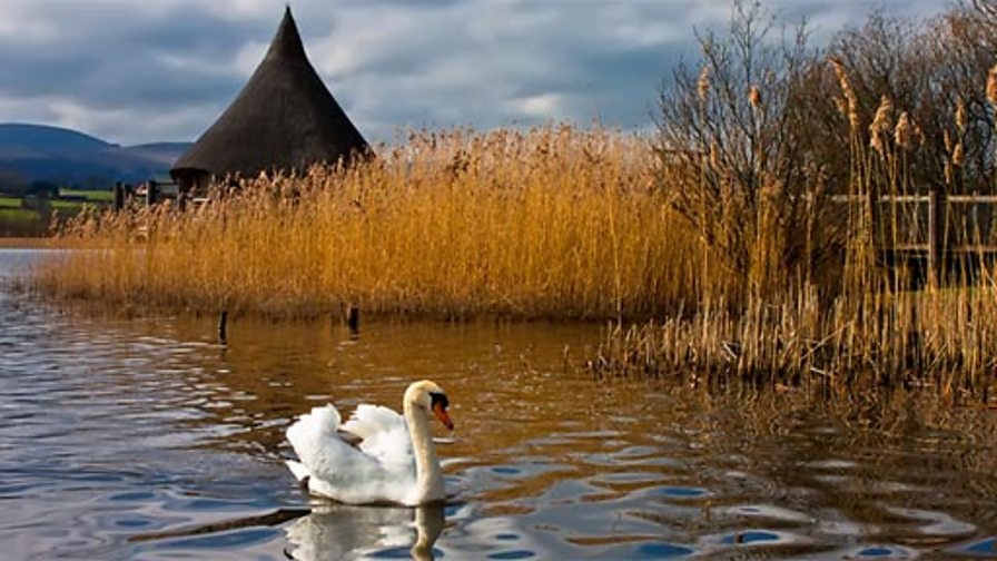 Crannog in DerraghCrannog · 1102 yd
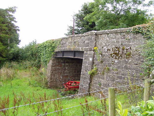 bridgebridge · 1.2 mi
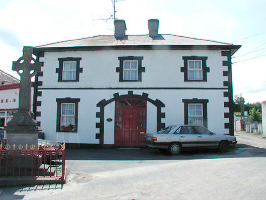 Finnea Market Housemarket house · 1.3 mi
 CarrickMountain / peak · 2.0 mi
 Watty's RocksIslet · 2.1 mi
 Togher CastleCastle · 2.2 mi
 Sporting RockIslet · 2.4 mi
 CarrickabaneMountain / peak · 2.6 mi
 Carrick RockWood · 2.8 mi
 Carlanstown CastleHouse, fortified house · 3.0 mi
 Moynagh Upper ForestForest · 3.3 mi
Other information
Photo: Credit not shown in the picture search · Rights wording not checked; contact us if this picture should be removed