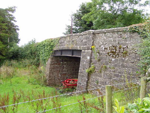
Places near here
Photo credits
- National Inventory of Architectural Heritage
- Jonathan Billinger, Wikimedia Commons · CC BY-SA 2.0
- Gillaween, Wikimedia Commons · CC BY-SA 4.0
- Charles T. G. Clarke, Wikimedia Commons · CC BY-SA 4.0
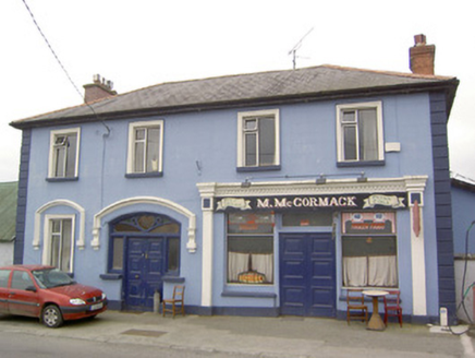 M. McCormackHouse · 1420 yd
Explorer Tom M. McCormack in Cloonaghmore is proud of its fanlight, which looks like it was designed by someone who really loved…
 Abbey (in Ruins)Religious house, Cistercian monks · 1433 yd
Explorer Tom Abbey in Abbeylara is having a rivalry with a more famous abbey across the country, which is very petty. St Patrick…
 Sheela-na-gig in AbbeylaraSheela-na-gig · 1435 yd
Explorer Tom Sheela-na-gig in Abbeylara has been staring into the void for centuries, and I swear she’s judging your outfit while…
Cistercian AbbeyRuins · 1457 ydExplorer Tom Cistercian Abbey would order a chipper at the counter by shouting 'Give me the large fry, extra salt' like it’s a…
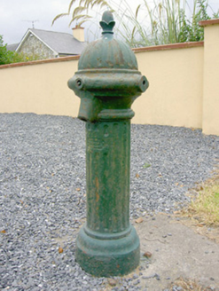 water pump1614 yd
Explorer Tom Water pump in Tonymore South was built by a man who thought everyone needed a dramatic splash to start their day. It…
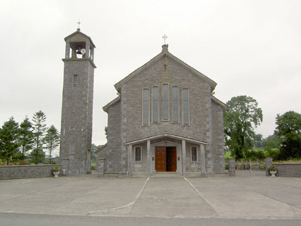 Saint Bernard's Catholic ChurchChurch/chapel · 1647 yd
Explorer Tom Saint Bernard's in Abbeylara complains to the council about modern architecture constantly. It fakes side aisles…
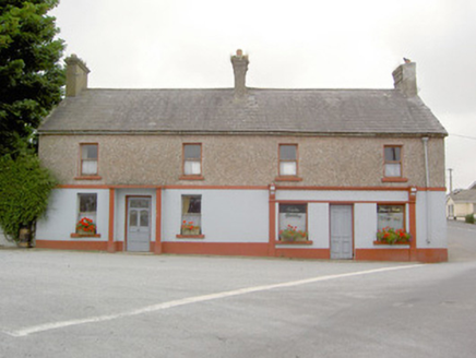 Ric barracks1662 yd
Explorer Tom Ric barracks in Abbeylara would order a chipper with no peas because it’s strictly for gentlemen of taste. It’s sitting…
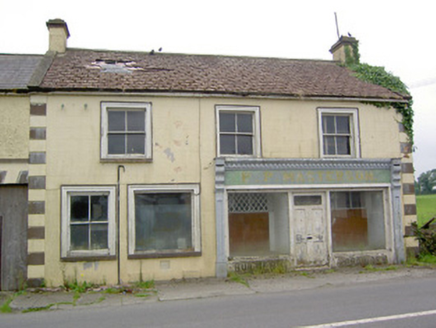 P.p. MastersonHouse · 1734 yd
Explorer Tom P.P. Masterson in Abbeylara has an escape plan hidden behind the render architraves for when the shop gets too much…
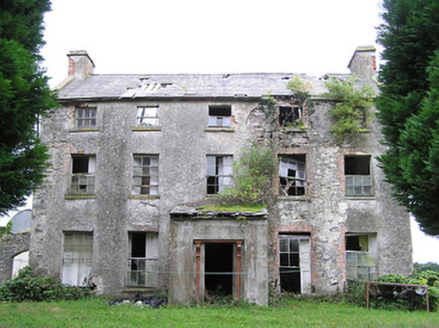 New GroveHouse · 1.1 mi
Explorer Tom New Grove in Cooldoney is ruinous but still three stories of stubbornness. It would tell the place that replaced it…
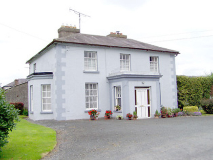 Toneen LodgeHouse · 1.8 mi
Explorer Tom Toneen Lodge in Toneen is extremely suspicious of the postman, who probably just delivers bills to its owner…
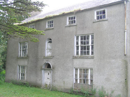 Killasona HouseCountry house · 2.1 mi
Explorer Tom Killasona House is in an eternal feud with the rain, and frankly, the house is losing because it’s getting soaked. It…
 Coolamber CastleHouse, fortified house · 3.8 mi
Explorer Tom Coolamber Castle House is where Saint Patrick would have said, ‘You’ve got a bit of an ego for a pile of rocks.’…
More historic places in County Longford · All of County Longford

What do you know about this place?Tap to add a comment or ask a question