What is recorded here
Cooldoney held a forty-six metre earthen ring beside the railway until ploughs and progress erased it. The fort appeared on maps in 1914, vanished from sight by 1975, and left no trace at all. Whatever life moved inside that circle has joined the soil, forgotten or transformed.
On level, low-lying pasture, immediately to the NW of a disused NNE-SSW running railway line. Not indicated on the 1837 or 1883 eds. of the OS 6-inch map. On the 1914 ed. it is depicted as a circular enclosure (diam. c. 46m) abutted by the railway line at SE. A report in 1975 (SMR file)indicates that all that survived was a short segment of an embankment at W. This has since been levelled and the monument is not visible at ground level.
Compiled by: Patrick F. O'Donovan
Date of upload: 24 January 2012
The monument record does not grant public access. Check the route and ask the landowner before entering private land.
- What survives
- Recorded monument
Places near here
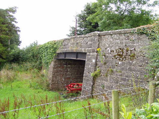 bridgebridge · 339 yd
 Fairy fort / earthen ringfort in BallyboyFairy fort / earthen ringfort · 1264 yd
 Enclosure in RincoolaghEnclosure · 1521 yd
 M. McCormackhouse · 1557 yd
 CastleCastle, motte · 2.0 mi
 Bakers FortCastle, ringwork · 3.0 mi
 1798 Monumentmonument · 3.1 mi
 CarrickMountain / peak · 3.1 mi
 Granard MotteMotte-and-bailey castle remains · 3.1 mi
 Watty's RocksIslet · 3.4 mi
 CarrickabaneMountain / peak · 3.4 mi
 Sporting RockIslet · 3.6 mi