
What is recorded here
Situated on natural rise of reclaimed pasture-land with wide views of the surrounding countryside. Inny River 170m to W, motte located on edge of floodplains of the nearby river. Poorly drained land and bog to the S. Heavily overgrown flat-topped steep-sided earthen mound (H c. 6m) with slight suggestion of a fosse at the base of the mound. No bailey visible. There are a series of banks and slight ditches about the foot of the motte. There are natural hollows to the SE and SW which appear to have contained water at one time. The archaeological significance of these features is uncertain, they could have functioned as possible fish-ponds.
Fredengren et al. (2010, 120) recorded that 'The motte at Doon originally possessed a small bailey, which was destroyed in the late twentieth century, but a probable fish-pond beside it survives, suggesting that the site was the caput of a knight of some status'.
See attached profile of monument surveyed and drawn by the ASI.
Compiled by: Caimin O'Brien
Date of upload: 21 November 2016.
A local castle; wider significance not recorded.
This remains an important historical record, but the official description says the monument is no longer visible or has been destroyed. The monument record does not grant public access. Check the route and ask the landowner before entering private land.
- What survives
- No visible remains or recorded as destroyed
Places near here
 Camagh Bridgebridge · 443 yd
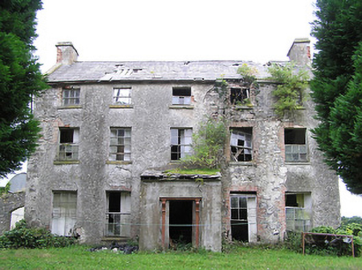 New Grovehouse · 1.2 mi
 TowerCastle, tower house · 1.4 mi
 Partially indicatedFairy fort / earthen ringfort · 1.5 mi
 Crannog in ClonsuraCrannog · 1.7 mi
 Turbotstown Ho.Castle, unclassified · 2.5 mi
 Rock of CurryCliff · 3.0 mi
 CarrickMountain / peak · 4.2 mi
 Watty's RocksIslet · 4.2 mi
 European BeechEuropean Beech · 4.4 mi
 Pedunculate OakPedunculate Oak · 4.4 mi
 Sporting RockIslet · 4.5 mi
Other information
Photo: Credit not shown in the picture search · Rights wording not checked; contact us if this picture should be removed