
What is recorded here
On a gentle SE-facing slope in pasture. Depicted as the SW end of a rectangular enclosure, aligned NE–SW, on the 1937 and 1914 editions of the OS 6-inch map and designated ‘Fort’ on the 1837 edition. Not visible at ground level.
Compiled by: Patrick F. O'Donovan
Date of upload: 6 February 2012
A local fairy fort (ringfort/rath); wider significance not recorded.
The monument record does not grant public access. Check the route and ask the landowner before entering private land.
- What survives
- Recorded monument
Places near here
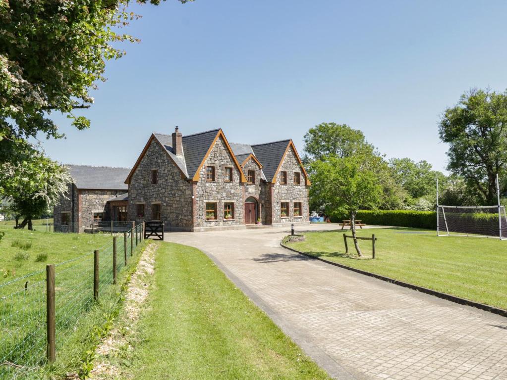 ToberreendoneyHoly well · 1351 yd
 Fairy fort / earthen ringfort in BallyboyFairy fort / earthen ringfort · 1557 yd
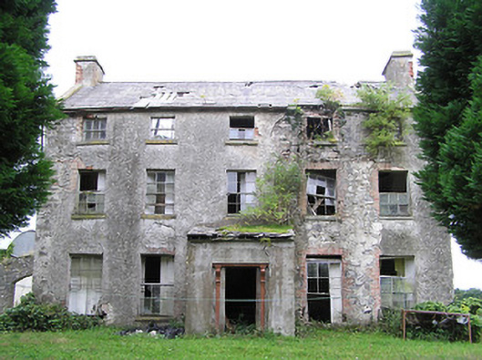 New Grovehouse · 1631 yd
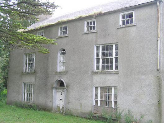 Killasona Housecountry house · 1.0 mi
 CastleCastle, motte · 2.0 mi
 Site of Castle NugentCastle, unclassified · 2.6 mi
 1798 Monumentmonument · 3.1 mi
 Granard MotteMotte-and-bailey castle remains · 3.1 mi
 CarrickMountain / peak · 4.0 mi
 Watty's RocksIslet · 4.2 mi
 CarrickabaneMountain / peak · 4.3 mi
 Sporting RockIslet · 4.5 mi
Other information
Photo: Credit not shown in the picture search · Rights wording not checked; contact us if this picture should be removed