
What is recorded here
On a rise in low-lying grassland and rock outcrop, c. 50m S of a stream. Well-preserved subcircular cashel (29.9m NW-SE; 26.4m N-S) defined by a drystone wall overlain by a later field wall at S. A gap at N appears to be modern. The grassed-over foundations of a possible house site (GA128-037001-) are evident in the centre of the interior.
Compiled by: Galway Archaeological Survey, UCG
Date of upload: 1 December 2017
A local fairy fort (ringfort/rath); wider significance not recorded.
The monument record does not grant public access. Check the route and ask the landowner before entering private land.
- What survives
- Recorded monument
Places near here
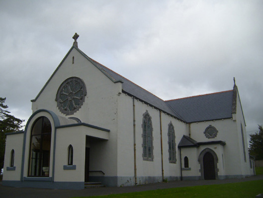 Saint Anne's Catholic Churchchurch/chapel · 777 yd
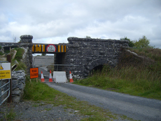 bridgebridge · 797 yd
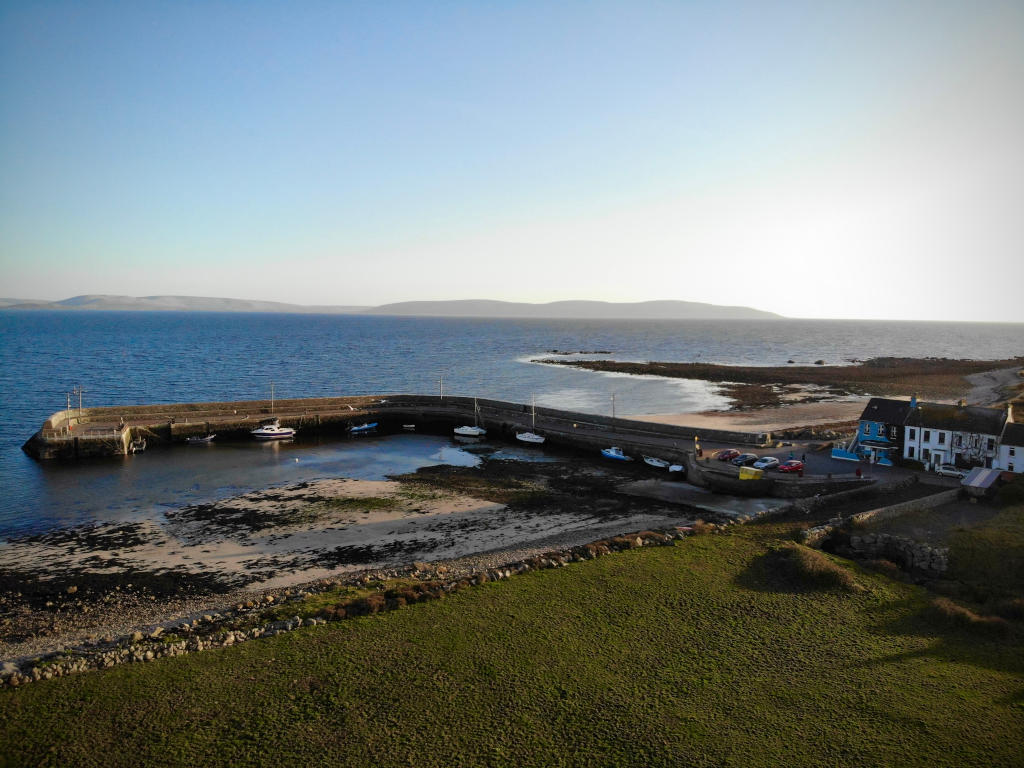 Fulacht fia in Barna (kiltartan By.)Fulacht fia · 1526 yd
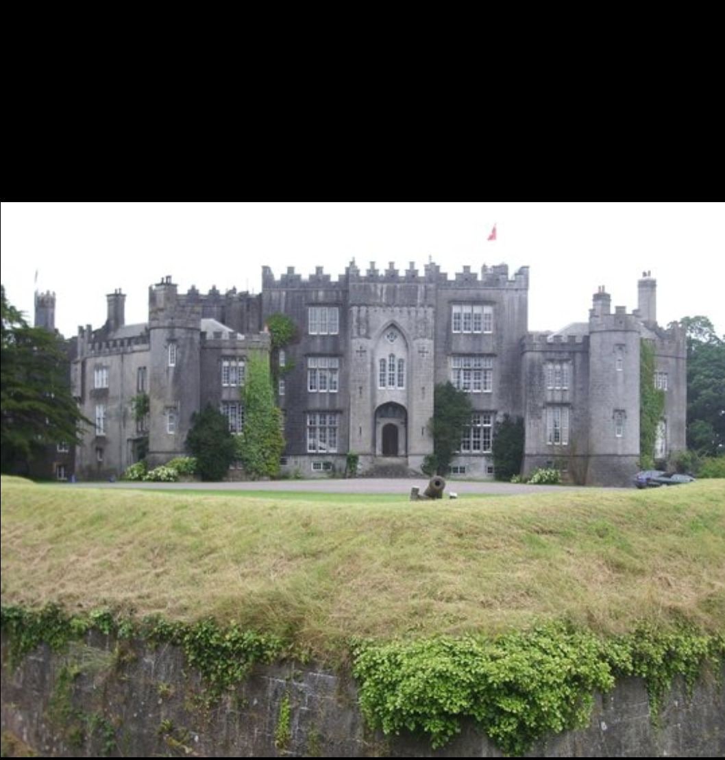 Man-made underground passage in Ashfield DemesneMan-made underground passage · 1552 yd
 Ardamullivan Castle (in ruins)Castle, tower house · 1713 yd
 Fiddaun Castle (in ruins)Castle, tower house · 1.2 mi
 Swan IslandIsland · 2.1 mi
 Apple IslandWood · 2.6 mi
 Keaghery IslandWood · 2.8 mi
 Kilmacduagh MonasteryHeritage attraction · 3.0 mi
 Kilmacduagh Monastic SiteVisitor information · 3.0 mi
 Castle IslandIsland · 3.2 mi
Other information
Photo: Credit not shown in the picture search · Rights wording not checked; contact us if this picture should be removed