What is recorded here
Three grassed banks and a hidden ditch circle the summit of a low Galway hill, facing a turlough that drinks rain and gives it back. The outer edge slopes away like a forgotten shoulder, while the inner ring remains unbroken. A narrow causeway gap at the south-east suggests people once chose their own entrance instead of breaking through. The fairies may have taken the name, but the shape still belongs to human hands.
On the summit of a low hill that overlooks a turlough to the W. Poorly preserved subcircular rath (31m NE-SW; 28.9m NW-SE) defined by three grassed-over banks of earth and stone and a fosse. The inner bank survives all round. The fosse and middle bank are visible from SE through W to NE. The third bank is evident further downslope; it extends from the middle bank at SW and is visible through W to N. A causewayed entrance gap (Wth 2.4m) at SSE may be original.
Compiled by: Galway Archaeological Survey, UCG
Date of upload: 1 December 2017
The monument record does not grant public access. Check the route and ask the landowner before entering private land.
- What survives
- Recorded monument
Places near here
 Ardamullivan Castle (in ruins)Castle, tower house · 1048 yd
 IndicatedFairy fort / stone ringfort · 1081 yd
 Old ChapelChapel · 1146 yd
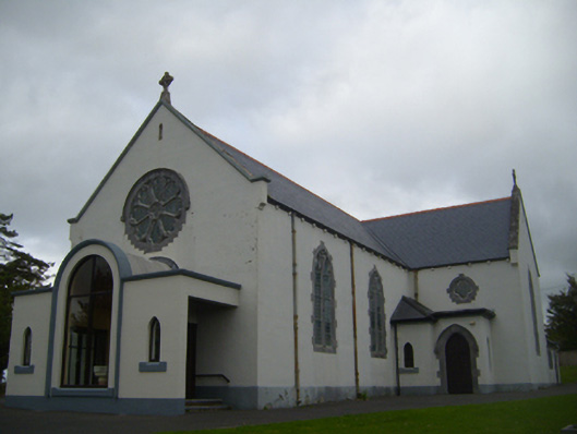 Saint Anne's Catholic Churchchurch/chapel · 1152 yd
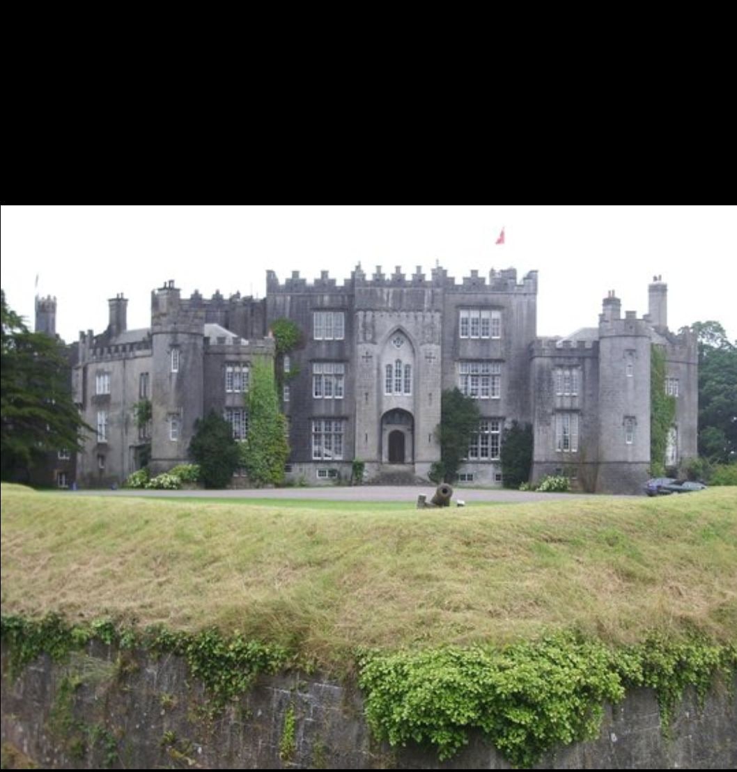 Man-made underground passage in Ashfield DemesneMan-made underground passage · 1.5 mi
 Fiddaun Castle (in ruins)Castle, tower house · 1.6 mi
 Swan IslandIsland · 2.2 mi
 Apple IslandWood · 2.6 mi
 Keaghery IslandWood · 3.0 mi
 Castle IslandIsland · 3.4 mi
 Kilmacduagh MonasteryHeritage attraction · 3.6 mi
 Kilmacduagh Monastic SiteVisitor information · 3.7 mi