What is recorded here
Indicated on the 1st ed. (1838) OS 6-inch map as a well defined, circular enclosure (est. ext. diam c. 50m), but not recorded on the 1908 edition. In forestry, on a gentle NW-facing slope overlooking a very steep dip in the slope c. 15m to NW. A smaller, subrectangular enclosure, or possibly the remnants of a field system, (dims. L 21m N-S; Wth 10m E-W) defined N-E-S by a bank (Wth 1.5m; H 0.6m) with a slight external fosse (Wth 1.2m; D 0.15-0.2m) at NE and a well-defined gap (Wth 1m) at SE appears to overlie the NW sector of the larger enclosure, traces of which were not noted elsewhere. Revised by: G. Conroy
Date of revision: 4 November 2009
Indicated on the 1st ed. (1838) OS 6-inch map as a well defined, circular enclosure (est. ext. diam c. 50m), but not recorded on the 1908 edition. In forestry, on a gentle NW-facing slope overlooking a very steep dip in the slope c. 15m to NW. A smaller, subrectangular enclosure, or possibly the remnants of a field system, (dims. L 21m N-S; Wth 10m E-W) defined N-E-S by a bank (Wth 1.5m; H 0.6m) with a slight…
From the National Monuments Service (Archaeological Survey of Ireland) record WI035-005
The monument record does not grant public access. Check the route and ask the landowner before entering private land.
- What survives
- Recorded monument
Places near here
Photo credits
- Steve & Jemma Copley on Flickr, Wikimedia Commons · CC BY-SA 2.0
- National Inventory of Architectural Heritage
- Walter Siegmund (talk), Wikimedia Commons · CC BY-SA 3.0
- 瑞丽江的河水, Wikimedia Commons · CC BY-SA 4.0
Enclosure in Connary UpperEnclosure · 803 yd Silver Fir1148 ydEnclosure in SroughmoreEnclosure · 1164 ydCastle HowardCountry house · 1412 ydCastle HowardGate lodge · 1448 ydDouglas-fir1649 ydMeeting of the WatersHeritage attraction · 1.0 miViewing TowerHeritage attraction · 1.0 miWicklow 400Memorial · 2.3 miParnell MonumentMemorial · 2.3 miSite of CastleCastle, unclassified · 3.2 miCastle in ruinsCastle, tower house · 3.8 mi
 Silver Fir1148 ydEnclosure in SroughmoreEnclosure · 1164 yd
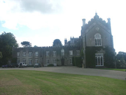 Castle HowardCountry house · 1412 yd
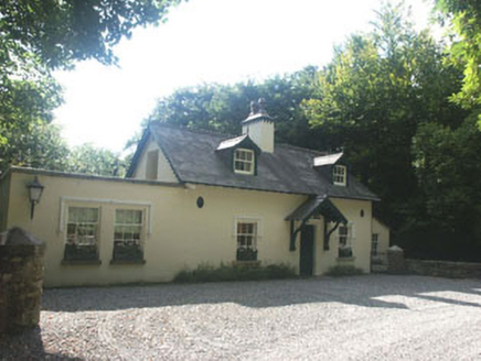 Castle HowardGate lodge · 1448 yd
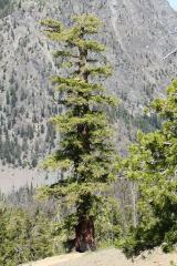 Douglas-fir1649 ydMeeting of the WatersHeritage attraction · 1.0 mi
 Viewing TowerHeritage attraction · 1.0 miWicklow 400Memorial · 2.3 miParnell MonumentMemorial · 2.3 miSite of CastleCastle, unclassified · 3.2 miCastle in ruinsCastle, tower house · 3.8 mi
More archaeology and monuments in County Wicklow · All of County Wicklow
What do you know about this place?