
What is recorded here
In level pasture c. 135m NE of the E-flowing River Liffey. According to Killanin and Duignan (1967, 102), ‘St. James’ Church [KD029-005001-] and its graveyard [KD029-005004-] lie inside what was a large bivallate ring-enclosure (an early monastic site?’ The SW, W and N sections of an enclosing feature are recorded on the 1st ed. (1838) of the OS 6-inch map as two curving parallel embankments (est. max. Wth c. 25m) bordering a small stream flowing into the Liffey. While the enclosing elements are not shown at NE, their former continuation in this direction, until truncated by a road, is indicated by two parallel dashed lines (est diam. of enclosure c. 200m NE-SW). Vestiges of this possible enclosure are indicated on the latest ed. (1939-40) of the OS 6-inch map as a tree-clad scarp at SW, a pond at W and by dashed parallel lines WNW-NNE. The small stream has since dried up, but a curving depression (Wth c. 18m; D 1m) marks its former line W-N. The SW sector is overgrown with trees, while a second dried up curving watercourse may have marked the enclosing limits E-SE-S.
Compiled by: Gearóid Conroy
Date of upload: 27 August 2013
A local fairy fort (ringfort/rath); wider significance not recorded.
The monument record does not grant public access. Check the route and ask the landowner before entering private land.
- What survives
- Recorded monument
Places near here
 CastleCastle, unclassified · 48 yd
 Base of CrossCross · 77 yd
 Church (in Ruins)Church · 86 yd
 St. Jamess WellHoly well · 114 yd
 Harristown CastleCastle, tower house · 1536 yd
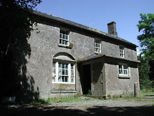 Mullaboden Lodgefarm house · 1.2 mi
 Sillagh Bog WoodForest · 1.8 mi
 European ashEuropean ash · 1.9 mi
 1798 memorial stoneMonument · 3.4 mi
 National Bird of Prey CentreHeritage attraction · 3.7 mi
 Artisans WorkshopsHeritage attraction · 3.7 mi
 Saint Kevin's CaveMemorial · 4.2 mi
Other information
Photo: Credit not shown in the picture search · Rights wording not checked; contact us if this picture should be removed