What is recorded here
From the National Monuments Service (Archaeological Survey of Ireland) record CO070-099
Places near here
Photo credits
- Maker not stated on source page, www.dreamstime.com
- National Inventory of Architectural Heritage
- Maker not stated on source page, www.flickr.com
- Maker not stated on source page, en.wikipedia.org
- Maker not stated on source page, archaeologymag.com
- Maker not stated on source page, www.alamy.com
- Maker not stated on source page, commons.wikimedia.org
- Echo Live; individual photographer not stated on accessible page (article by Barry O’Mahony), www.echolive.ie
- Gordon Hatton, Wikimedia Commons · CC BY-SA 2.0
- El Gringo ( talk ) ( Uploads ), Wikimedia Commons · CC BY-SA 3.0
 Standing stone in Knockroe (muskerry West By.)Standing stone · 1751 yd
Explorer Tom Standing stone in Knockroe is long and low, sloping up to a point. It looks like it's trying to lean against the wind.…
 filling pump/station1.0 mi
Explorer Tom Filling pump or station in Teergay is a rare survivor from when cars were still learning how to drive. It’s standing…
 Fairy fort / earthen ringfort in Baile An BhuaidhFairy fort / earthen ringfort · 1.4 mi
Explorer Tom Fairy fort / earthen ringfort in Baile An Bhuaidh has a low earthen bank topped by a stone field boundary. It’s…
 Bullaun stone in Glebe (muskerry West By., Kilnamartery Par.)Bullaun stone · 1.5 mi
Explorer Tom Bullaun stone in Glebe is leaning against a wall, partially buried, looking like it just gave up on life. The ivy is…
 Fairy fort / earthen ringfort in Drom An GharraíFairy fort / earthen ringfort · 1.6 mi
Explorer Tom Fairy fort / earthen ringfort in Drom An Gharraí is basically a ploughed-out circle with a bank that only survives on…
 Church in Kilbarry (muskerry West By., Inchigeelagh Par.)Church · 1.6 mi
Explorer Tom Church in Kilbarry has sod-covered walls on a hilltop, looking like it’s trying to blend into the grass. A cow once…
 Fairy fort / earthen ringfort in BrachánFairy fort / earthen ringfort · 1.9 mi
Explorer Tom Fairy fort / earthen ringfort in Brachán overlooks a river valley and has an upright stone inside that looks…
 Standing stone in BrachánStanding stone · 1.9 mi
Explorer Tom Standing stone in Brachán is a possible stone inside a rath bank. It’s not even officially a standing stone yet, just a…
 Fairy fort / earthen ringfort in Cathair CéirínFairy fort / earthen ringfort · 2.1 mi
Explorer Tom Fairy fort / earthen ringfort in Cathair Céirín has a curse that only affects people who don't wave when they pass by.…
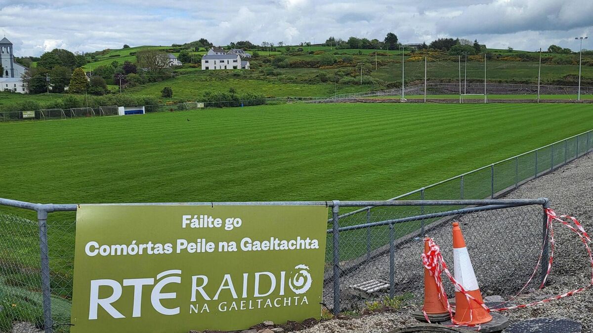 Páirc Uí Chuana, Cill na MartraGAA ground · 2.1 mi
 Kilmichael Ambush SiteMonument · 4.5 mi
Explorer Tom Kilmichael Ambush Site in County Cork has a rivalry with every other ambush site because they all think theirs was the…
 Kilmichael AmbushAmbush · 4.6 mi
Explorer Tom The Kilmichael Ambush has a secret talent for making you feel like you’re walking through a very aggressive history…
More historic places in County Cork · All of County Cork

What do you know about this place?Tap to add a comment or ask a question