
What is recorded here
Not depicted on any edition of the OS 6-inch map. The term 'Fort' is written in pencil on the NMI copy of the OS 1st edition map (1837). This potential monument has been levelled and there no remains visible at ground level.
Compiled by: Mark Keegan
Date of upload: 05 November 2013
A local fairy fort (ringfort/rath); wider significance not recorded.
The monument record does not grant public access. Check the route and ask the landowner before entering private land.
- What survives
- Recorded monument
Places near here
 Atlantic SheepdogsHeritage attraction · 500 yd
 Enclosure in AghagadEnclosure · 738 yd
 Enclosure in StreedaghEnclosure · 752 yd
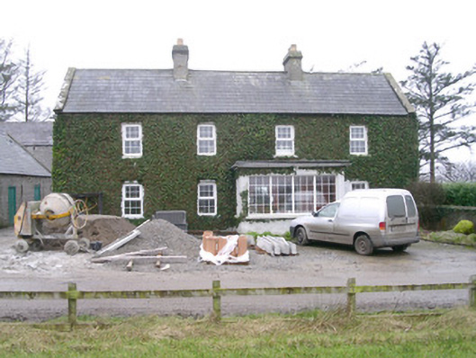 Ivy Househouse · 835 yd
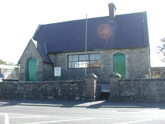 Grange Courthousecourt house · 883 yd
 CastleCastle, unclassified · 1109 yd
 InishnagorIslet · 1.1 mi
 de Cuellar Armada MonumentMemorial · 1.2 mi
 Streedagh BeachVisitor information · 1.4 mi
 Connors IslandIsland · 1.9 mi
 Upperglen WoodForest · 2.4 mi
 Kennel WoodWood · 2.5 mi
Other information
Photo: Credit not shown in the picture search · Rights wording not checked; contact us if this picture should be removed