What is recorded here
Marked as a circular wooded enclosure (diam. c. 30m) bisected by a NE-SW field bank on the 1837 ed. of the OS 6-inch map, and situated on a slight rise in an undulating landscape. It is not visible at ground level in pasture. The rath (RO051-042----) is c. 130m to the S.
Compiled by: Michael Moore
Date of upload: 24 August 2010
The monument record does not grant public access. Check the route and ask the landowner before entering private land.
- What survives
- Recorded monument
Places near here
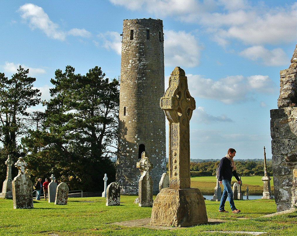 IndicatedFairy fort / earthen ringfort · 189 yd
 Drum ChurchChurch · 1544 yd
 St Bridgets WellHoly well · 1549 yd
 KilnKiln, corn-drying · 1.5 mi
 Castle QuarterCastle, unclassified · 2.6 mi
 CastlesampsonCastle, tower house · 2.6 mi
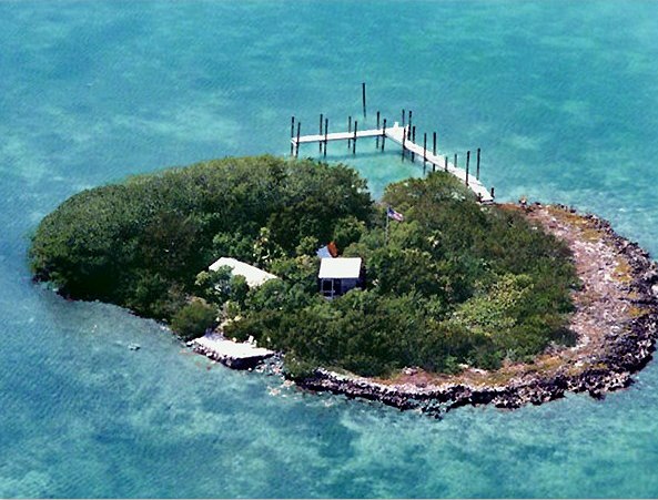 Charlie's IslandIslet · 4.3 mi
 Bastion GalleryGallery · 4.4 mi
 Siege of Athlonesiege · 4.4 mi
 Historic Town - Athlone Castle & Church of St Peter and PaulVisitor information · 4.4 mi
 Athlone CastleVisitor information · 4.4 mi