What is recorded here
Map note: The recorded spot for Drum Middle Graveyard is in County Roscommon, Ireland; it is a graveyard. The map keeps its name and location together for anyone looking for it.
From OpenStreetMap (© OpenStreetMap contributors) w1018162198
Places near here
Photo credits
- National Inventory of Architectural Heritage
- Graham Horn, Geograph · CC BY-SA 2.0
- Mike Searle, Geograph · CC BY-SA 2.0
- Sheila1988, Wikimedia Commons · CC0
- Pat Byrne, Geograph · Creative Commons Attribution-ShareAlike 2.0
- Peter Gerken, Wikimedia Commons · CC BY-SA 2.0
St Bridgets WellHoly well · 66 yd post box3.4 mibattery3.4 miBastion GalleryGallery · 3.9 miCastleCastle, unclassified · 3.9 miHistoric Town - Athlone Castle & Church of St Peter and PaulVisitor information · 3.9 miLuan GalleryGallery · 4.0 miWeirWeir, fish · 4.0 miWren's IslandIslet · 4.0 miSiege of AthloneSiege · 4.0 mi1916 Centenery CommemorationMemorial · 4.2 mi
Explorer Tom St Bridgets Well in Curryroe has been having a dramatic feud with the nearest tree for centuries over who gets the best light. It’s a conserved limestone circle that definitely judges your posture. Make a wish, it's had centuries of practice.
Castle QuarterCastle, unclassified · 2.0 miExplorer Tom Castle Quarter would write 'I am mysterious and slightly underwhelming' on its dating profile, and honestly, it wouldn't be lying. A map from the eighteen hundreds marks it, but there's nothing there to see but grass. Best seen with a hangover and a sausage roll.
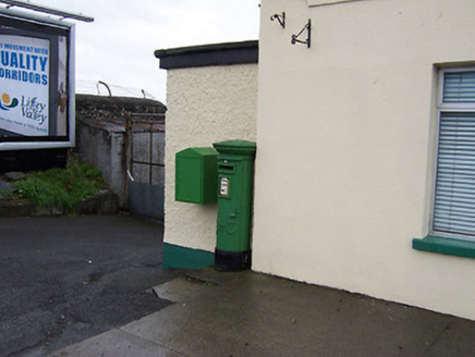 post box3.4 mi
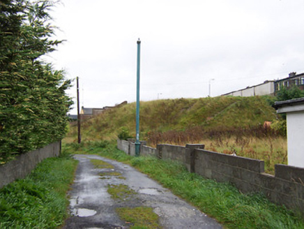 battery3.4 miBastion GalleryGallery · 3.9 mi
 CastleCastle, unclassified · 3.9 mi
 Historic Town - Athlone Castle & Church of St Peter and PaulVisitor information · 3.9 mi
 Luan GalleryGallery · 4.0 mi
 WeirWeir, fish · 4.0 miWren's IslandIslet · 4.0 mi
 Siege of AthloneSiege · 4.0 mi1916 Centenery CommemorationMemorial · 4.2 mi
More memorials and graveyards in County Roscommon · All of County Roscommon

What do you know about this place?Tap to add a comment or ask a question