
What is recorded here
On small rise in undulating pasture. Oval area (25m N-S; 30m E-W) scarped up above surrounding land and enclosed by low earthen bank (H 1.5m). Gap in bank (Wth 1.5m) to ENE. Interior slopes down gently to SW.
The above description is derived from the published 'Archaeological Inventory of County Cork. Volume 1: West Cork' (Dublin: Stationery Office, 1992). In certain instances the entries have been revised and updated in the light of recent research.
Date of upload/revision: 14 January 2009
The monument record does not grant public access. Check the route and ask the landowner before entering private land.
- What survives
- Recorded monument
Places near here
 CairnCairn, unclassified · 1278 yd
 Boulder-burial in CaherkirkyBoulder-burial · 1577 yd
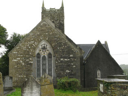 Christ Churchchurch/chapel · 1.3 mi
 schoolschool · 1.3 mi
 Ballinvard CastleCastle · 1.4 mi
 Ballynacarriga CastleCastle, tower house · 1.4 mi
 Corran HillMountain / peak · 2.2 mi
 Irish National Forestry FoundationNature reserve · 2.6 mi
 The GlenWood · 3.4 mi
 Castle RockNamed rock · 4.7 mi
 Graveyard in Dunmanway NorthGraveyard · 4.8 mi
 Dunmanway Heritage CentreVisitor information · 5.0 mi
Other information
Photo: Credit not shown in the picture search · Rights wording not checked; contact us if this picture should be removed