What is recorded here
Glan carries a rounded standing stone on a ridge where pasture stretches NE-SW, leaning slightly north as if listening to the land rather than resisting the sky. Sixty-five metres away lies a possible underground passage, suggesting the ridge once belonged to people who marked distance, direction or memory instead of forgetting it. The stone is small enough to touch and old enough to unsettle, a quiet witness above ground while the earth keeps its own secret beneath.
In level pasture, on a ridge with extensive views over the surrounding undulating, countryside NE-SW. This standing stone (1.25m x 0.35m; H 0.8m), with a rounded top, is orientated E-W and leans slightly to the N. There is a possible Man-made underground passage (CO121-104----) situated c. 65m to the N.
The above description is derived from 'The Archaeological Inventory of County Cork. Volume 5' (Dublin: Stationery Office, 2009).
Date of upload: 22 December 2009
The monument record does not grant public access. Check the route and ask the landowner before entering private land.
- What survives
- Recorded monument
Places near here
 Man-made underground passage in Glan (carbery East (e.d) By.)Man-made underground passage · 71 yd
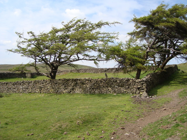 Burial ground in Glan (carbery East (e.d) By.)Burial ground · 87 yd
 bridgebridge · 1.0 mi
 Ballynacarriga CastleCastle, tower house · 1.1 mi
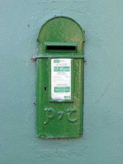 post boxpost box · 1.1 mi
 Ballinvard CastleCastle · 2.2 mi
 Irish National Forestry FoundationNature reserve · 3.1 mi
 Mohona WoodWood · 3.3 mi
 Corran HillMountain / peak · 3.6 mi
 Graveyard in Dunmanway NorthGraveyard · 3.7 mi
 Dunmanway Heritage CentreVisitor information · 3.8 mi
 Cross commemorating Holy Day.Memorial · 4.4 mi