
What is recorded here
In level pasture, on a ridge with extensive views NE-SW. According to local information, farm machinery caused the ground surface to collapse here in 1993. The collapse was subsequently filled in for safety reasons and there are now no visible remains of it.
The above description is derived from 'The Archaeological Inventory of County Cork. Volume 5' (Dublin: Stationery Office, 2009).
Date of upload: 22 December 2009
The monument record does not grant public access. Check the route and ask the landowner before entering private land.
- What survives
- Recorded monument
Places near here
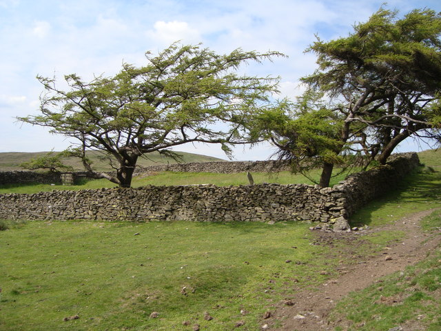 Burial ground in Glan (carbery East (e.d) By.)Burial ground · 113 yd
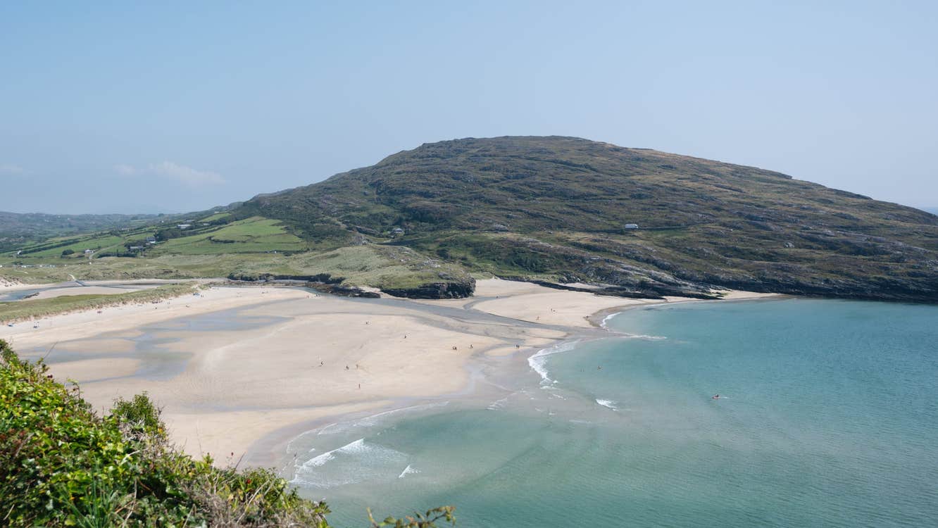 CaveMan-made underground passage · 117 yd
 bridgebridge · 1750 yd
 Ballynacarriga CastleCastle, tower house · 1.0 mi
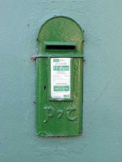 post boxpost box · 1.0 mi
 Ballinvard CastleCastle · 2.3 mi
 Irish National Forestry FoundationNature reserve · 3.1 mi
 Mohona WoodWood · 3.3 mi
 Corran HillMountain / peak · 3.6 mi
 Graveyard in Dunmanway NorthGraveyard · 3.7 mi
 Dunmanway Heritage CentreVisitor information · 3.8 mi
 Graveyard in ToughmacdermodyGraveyard · 4.4 mi
Other information
Photo: Credit not shown in the picture search · Rights wording not checked; contact us if this picture should be removed