
What is recorded here
From the National Monuments Service (Archaeological Survey of Ireland) record RO044-041
Places near here
Photo credits
- Maker not stated on source page, storage.googleapis.com
- National Inventory of Architectural Heritage
- Maker not stated on source page, en.wikipedia.org
- Maker not stated on source page, www.isle-of-mull.net
- Maker not stated on source page, www.thejournal.ie
- RosCamán, Roscommon official hurling development committee; individual aerial photographer not stated, roscaman.ie
- Maker not stated on source page, www.tripadvisor.ie
- Maker not stated on source page, ru.wikipedia.org
- Maker not stated on source page, au.pinterest.com
 Fairy fort / stone ringfort in Cloghnashade,tibarneyFairy fort / stone ringfort · 626 yd
Explorer Tom Fairy fort / stone ringfort in Cloghnashade, Tibarney was nearly sold to a farmer as a deal horse, but he realized it…
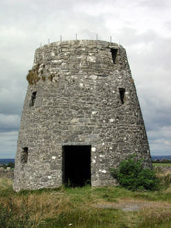 Loobinroe WindmillMill (wind) · 1.0 mi
Explorer Tom Loobinroe Windmill is standing up there on a high hill, looking down its nose at everyone else. It used to grind grain…
 Church WellWell · 1.1 mi
Explorer Tom Church Well in Carrowntemple is a rectangular hole that thinks it smuggled holy water for centuries without anyone…
 Bullaun stone in Kilmore (athlone North By., Athleague East Ed)Bullaun stone · 1.2 mi
Explorer Tom Bullaun stone in Kilmore is probably polishing its basin with a tiny cloth when nobody is looking at it. It sits right…
 Fairy fort / stone ringfort in KilleenadeemaFairy fort / stone ringfort · 1.4 mi
Explorer Tom Fairy fort / stone ringfort in Killeenadeema, County Roscommon hates when tourists come up to touch the stones and…
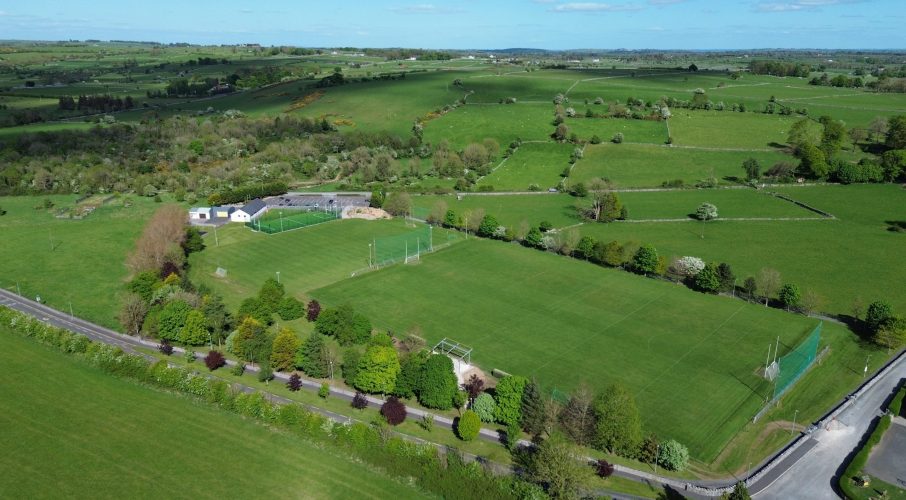 Tisrara Community Sports Park, Four Roads GAAGAA ground · 1.6 mi
 CastleCastle, unclassified · 1.8 mi
Explorer Tom Castle in Cartron is having a bit of a laugh at you. A map from the seventeenth century swears it's there, but the…
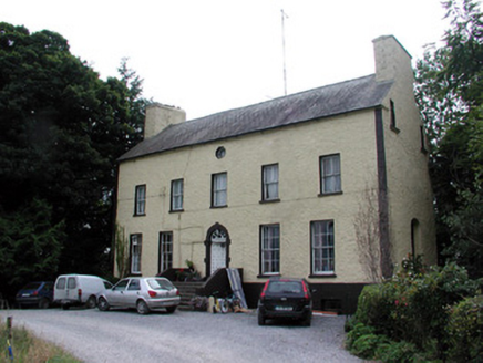 Bushypark HouseCountry house · 1.9 mi
Explorer Tom Bushypark House in Lisgillalea has an octagonal attic window that looks like a peephole for spying on the village. It…
 Linear earthwork in Carrowntlieve,cuilnakeava,carrownurlar (athlone North By.)Linear earthwork · 2.0 mi
Explorer Tom Linear earthwork in Carrowntlieve was built on a bargain where one parish gave up land and the other gave up dignity…
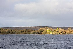 InchaquinIslet · 4.2 mi
Explorer Tom Inchaquin in County Roscommon has stones that are whispering messages to anyone who listens close enough, but they’re…
 Deerpark Ballygar, St Brendan's Football ClubGAA ground · 4.5 mi
 Mapped cemeteryCemetery · 4.7 mi
Explorer Tom This Mapped Cemetery in County Galway would complain to the council about the overgrown grass covering up its best…
More archaeology and monuments in County Roscommon · All of County Roscommon

What do you know about this place?Tap to add a comment or ask a question