What is recorded here
Towards the top of the NE-facing slope of a SE-NW spur. Circular grass-covered area (diam. 68m N-S; 64.3m E-W) defined by an earthen bank (Wth 4-5m; int. H 0.5-0.9m; ext. H 0.85-1.15m) surviving WSW-N-SE with some bushes and barely traceable as a low scarp down to the interior (H 0.1m) elsewhere. There is no visible fosse but there is an entrance (Wth 2.25m) at NNW while an E-W field wall across the interior has been removed. Raths (RO044-040----; RO044-041----) are c. 195m to the W and 110m to the NW respectively.
Compiled by: Michael Moore
Date of upload: 24 August 2010
This remains an important historical record, but the official description says the monument is no longer visible or has been destroyed. The monument record does not grant public access. Check the route and ask the landowner before entering private land.
- What survives
- No visible remains or recorded as destroyed
Places near here
 IndicatedFairy fort / earthen ringfort · 956 yd
 Cross in CarrowntempleCross · 1593 yd
 Loobinroe Windmillmill (wind) · 1643 yd
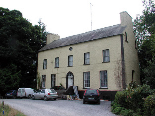 Bushypark Housecountry house · 2.0 mi
 CastleCastle, unclassified · 2.2 mi
 European Crab AppleEuropean Crab Apple · 2.3 mi
 Inchnaveague IslandIslet · 2.7 mi
 InchnagowerIslet · 3.2 mi
 Castle (Site of)Castle, unclassified · 3.4 mi
 TogherfinnForest · 4.2 mi
 Hangman's HillMountain / peak · 5.7 mi
 Mount MaryMountain / peak · 7.9 mi