What is recorded here
In pasture, in the SE corner of a rectangular modern field, located on a roughly E–W rise with good views in all directions. The Gweestion River is 350m to NE.
A circular enclosure (diam. 20-25m) is shown on 1838 OS 6-inch map. There are no visible remains. There is a disused sandpit (diam. c. 10m) on the rise and an E−W field fence crosses the S edge of the rise. There are raths (MA071-012----; MA071-014----; MA071-015----) 180m to N, 190m to NE and 130m to SE, respectively.
Compiled by: Jane O’Shaughnessy
Date of upload: 25 June 2021
This remains an important historical record, but the official description says the monument is no longer visible or has been destroyed. The monument record does not grant public access. Check the route and ask the landowner before entering private land.
- What survives
- No visible remains or recorded as destroyed
Places near here
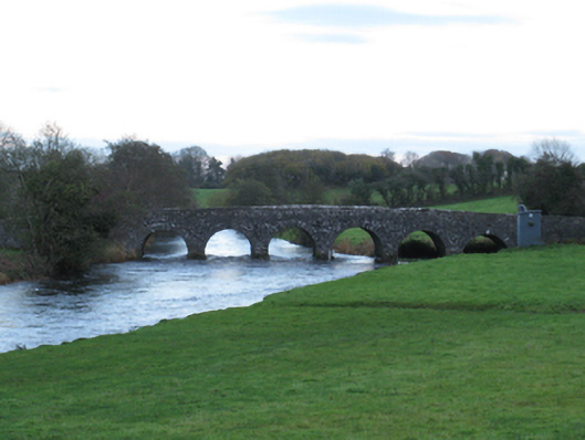 Scarrownageeragh Bridgebridge · 415 yd
 IndicatedFairy fort / earthen ringfort · 1004 yd
 Bohola ChurchChurch · 1698 yd
 Castle in ruinsCastle, tower house · 1754 yd
 Enclosure in BoholaEnclosure · 1.1 mi
 Shonagawna Castle in RuinsCastle, unclassified · 1.6 mi
 Michael DavittMemorial · 2.7 mi
 Thorn CaveCave · 3.8 mi
 Admiral William BrownMemorial · 4.7 mi
 Foxford Woollen MillsHeritage attraction · 4.8 mi
 Hennigan's Heritage CentreHeritage attraction · 4.9 mi
 Brabazon WoodsForest · 5.0 mi