
What is recorded here
Situated on a low rise in undulating pasture. Depicted as a circular enclosure on the 1837 edition of the OS 6-inch map. Roughly circular area (diam. 28m) enclosed in parts at at W, N and E by fragmentary remains of a bank (Wth 4.4m; max. int. H 1m; ext. H 1.2m, at W) and elsewhere by low undulations. An ENE-WSW field boundary/townland boundary cuts through the S third of the rath. Heaps of field clearance debris, and evidence for quarrying, within enclosed area.
Compiled by: Patrick F. O'Donovan
Date of upload: 19 January 2011
A local fairy fort (ringfort/rath); wider significance not recorded.
The monument record does not grant public access. Check the route and ask the landowner before entering private land.
- What survives
- Recorded monument
Places near here
 Enclosure in MuckduffEnclosure · 628 yd
 Grave of the Black PigArchaeological place · 719 yd
 Cross in CarrowcardinCross · 931 yd
 The Black PigMemorial · 1002 yd
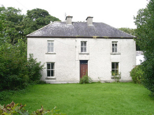 Ashdalehouse · 1395 yd
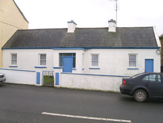 Saint Theresa'shouse · 1.2 mi
 Enniscrone BeachBeach / strand · 1.2 mi
 Wild Atlantic Way: Inishcrone PierVisitor information · 1.7 mi
 Goose IslandIslet · 2.0 mi
 CastleCastle, unclassified · 2.0 mi
 Rinnachurry PointHeadland · 2.1 mi
 Horse IslandIslet · 2.2 mi
Other information
Photo: Credit not shown in the picture search · Rights wording not checked; contact us if this picture should be removed