
What is recorded here
From the National Monuments Service (Archaeological Survey of Ireland) record SL016-046
Places near here
Photo credits
- Maker not stated on source page, www.pinterest.com
- Maker not stated on source page, thejournalofantiquities.com
- Maker not stated on source page, www.irelandbeforeyoudie.com
- National Inventory of Architectural Heritage
- Maker not stated on source page, br.pinterest.com
- Maker not stated on source page, ru.pinterest.com
- Maker not stated on source page, www.flickr.com
- Mick Garratt, Wikimedia Commons · CC BY-SA 2.0
- Florentchevallier, Wikimedia Commons · CC BY-SA 4.0
- Golfing in Ireland; photographer not stated, Source publisher
 Cist in Carrowneden (tireragh By.)Cist · 1673 yd
Explorer Tom Cist in Carrowneden is haunted by a poet who fell in the ditch nearby and never recovered his dignity. He’s still…
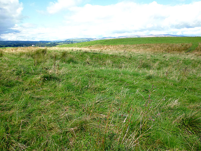 Earthwork in Carrowneden (tireragh By.)Earthwork · 1724 yd
Explorer Tom Earthwork in Carrowneden is a small hilltop circle that has a triangulation station on top, which means it’s been…
 Standing stone in Carrowneden (tireragh By.)Standing stone · 1.0 mi
Explorer Tom Standing stone in Carrowneden is squatting on a ridge like it owns the place, which is a bit cheeky for a rectangular…
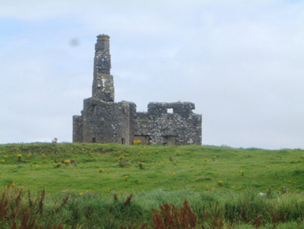 Inishcrone CastleCastle/fortified house · 1.0 mi
Explorer Tom Inishcrone Castle would teach history if it had to, but it prefers napping. Corner turrets are fancy for what is…
 Inishcroane CastleHouse, fortified house · 1.0 mi
Explorer Tom Inishcroane Castle has a massive, ongoing dramatic feud with the nearest tree over who gets the sunlight. It’s a…
 Enniscrone CastleRuins · 1.0 mi
Explorer Tom Enniscrone Castle hosted a dance that went so far that they never cleaned up the mess afterwards, honestly. The floor…
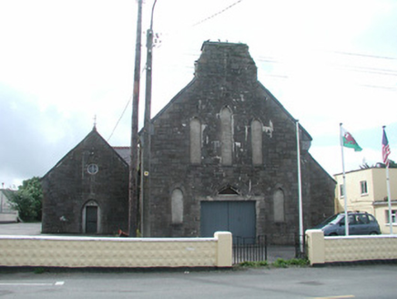 Saint Mary's Catholic ChurchChurch/chapel · 1.1 mi
Explorer Tom Saint Mary's Catholic Church in Carrowhubbuck South would tell you it’s actually a disco if you got it drunk after a…
 Castle FieldsPark · 1.1 mi
Explorer Tom Castle Fields in County Sligo acts like it’s the most exclusive club in town, which is rich given how many people…
 Enclosure in Carrowhubbuck SouthEnclosure · 1.2 mi
Explorer Tom Enclosure in Carrowhubbuck South is tucked away in a private garden, which means you have to guess what’s going on…
 St. Patrick's CemeteryCemetery · 1.2 mi
Explorer Tom St. Patrick's Cemetery is bragging about surviving a storm so fierce it blew a cow into the sky, though I suspect that…
 Wild Atlantic Way: Inishcrone PierVisitor information · 1.5 mi
Explorer Tom Inishcrone Pier looks like it’s plotting an escape plan, possibly because it’s tired of being just a sign for people…
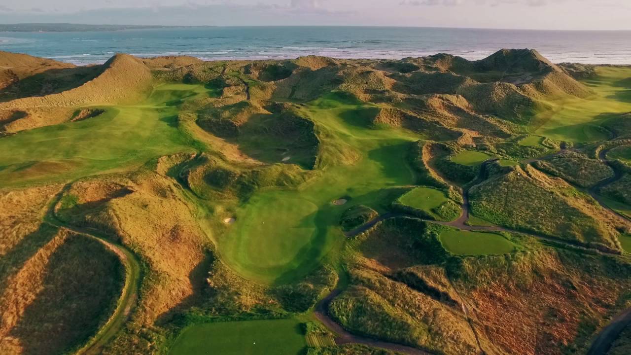 Enniscrone Golf ClubGolf course · 1.7 mi
More archaeology and monuments in County Sligo · All of County Sligo

What do you know about this place?Tap to add a comment or ask a question