What is recorded here
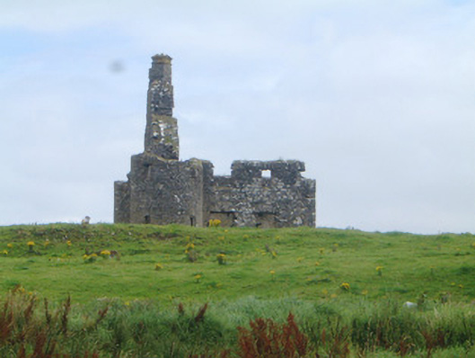
Detached three-bay two-storey stone fortified house, built c. 1650, now ruinous. Rectangular on plan with circular towers to north-west and south-west corners. Traces of steeply-pitched roof on west gable, rubble stone chimneystack on west gable with two diagonally-set cans. Rubble stone walls, east wall missing. Square-headed window openings, rubble stone voussoirs to flat arches. Square-headed door opening with rubble stone voussoirs to flat arch. Floors missing from interior, massive chimney breast on west gable. On elevated site surrounded by farmland and overlooking Killala Bay to west.
These fragile remains of a corner-turreted transitional fortified house, retain some particularly interesting features such as the chimneystack and interior chimney breast. It is a striking feature in the landscape.
From the Buildings of Ireland (National Inventory of Architectural Heritage) record 32401604
This does not grant access. Most recorded buildings are privately owned; view them only from public ground unless the owner allows entry.
Places near here
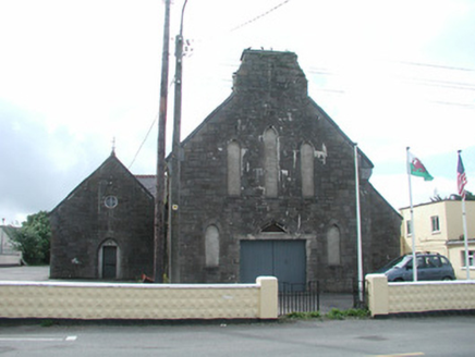 Saint Mary's Catholic ChurchChurch/chapel · 318 yd
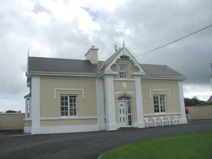 South LodgeHouse · 420 ydIndicatedFairy fort / earthen ringfort · 756 yd
 Wild Atlantic Way: Inishcrone PierVisitor information · 892 ydGrave of the Black PigArchaeological place · 1.2 miThe Black PigMemorial · 1.2 mi
 Enniscrone BeachBeach / strand · 1.3 mi
 Moyne AbbeyHeritage attraction · 3.8 mi
 Rosserk AbbeyHeritage attraction · 3.9 mi
 Hawthorn4.0 mi
 TowerSignal tower · 4.8 mi
 Rinnaun PointHeadland · 4.9 mi
Pictures: National Inventory of Architectural Heritage; Florentchevallier, Wikimedia Commons · CC BY-SA 4.0; Robin Mais, Geograph · CC BY-SA 2.0; Andreas F. Borchert, Wikimedia Commons · CC BY-SA 4.0; Didier Descouens, Wikimedia Commons · CC BY-SA 4.0; Mike Searle, Geograph · CC BY-SA 2.0; Steve Edge, Geograph · CC BY-SA 2.0
More historic places in County Sligo · All of County Sligo
What do you know about this place?