What is recorded here
Situated on top of a heavily wooded knoll at the base of the N-facing slopes of the Ox Mountains. Slightly raised circular area (diam. 19.4m) defined from N-NE-E by a scarp which at N merges with the steep slope of the knoll. At the upper edge of the scarp from SE-S-NW is a low rise (Wth 3-3.5m; int. H 0.6m) revetted internally and capped with a low field boundary wall. Original entrance not recognisable.
Compiled by: Patrick F. O'Donovan
Date of upload: 19 January 2011
The monument record does not grant public access. Check the route and ask the landowner before entering private land.
- What survives
- Recorded monument
Places near here
 Pigeonpark WoodForest · 170 yd
 IndicatedEnclosure · 411 yd
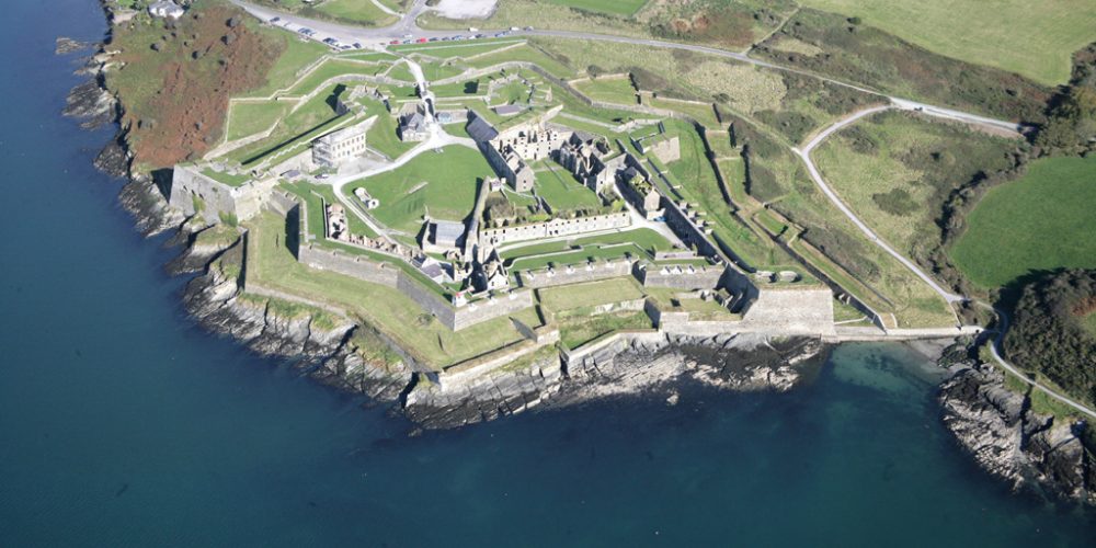 Bastioned fort in UnknownBastioned fort · 465 yd
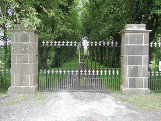 Longford Housegates/railings/walls · 544 yd
 Bawn in Longford DemesneBawn · 618 yd
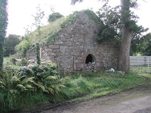 forge/smithyforge/smithy · 628 yd
 European ashEuropean ash · 631 yd
 CloonaghMountain / peak · 1.6 mi
 Giant's GraveArchaeological place · 1.6 mi
 CastleCastle, ringwork · 2.5 mi
 Lahanacappul IslandIslet · 2.7 mi
 Ballinlig PointHeadland · 2.9 mi