What is recorded here
Shown as 'stone circle' on the OS 6 inch map (1913). Wood-Martin (1887-8, 256-7) describes the site as a slightly raised mound 'c. 57' N-S by 45' E-W '; 'formerly encircled with boulders'. He records that the site was traditionally called 'Coolcrave' and was said to be the burial place of those who died in a battle which took place nearby. The extant remains consist of a semi-circular level area, c. 18m N-S. defined on the NW-E-S by remnants of a ring of close-set boulders and incorporated into a curving field wall on the S-E and NE. The stones survive best in the NW-N where six to seven boulders occur in a curving line. In the S five close set boulders appear also to be in situ and a there are a few isolated stones protruding from the overgrowth on the E. The boulders have a maximum dimension of 0.50m-0.70m, and vary in height from 0.40m to 0.80m. The W half of the site has been obliterated and on this side the site is now bordered by a rough track immediately to the W from which the ground falls away sharply. (Bergh 1995, 219, 222)
Compiled by: Geraldine Stout
Date of upload: 8 October 2013
Passage tomb, dating to the Neolithic period (c. 3500–2500 BCE). Its original stone circle and mound suggest it was a significant ceremonial or burial site, reflecting early communal rituals and construction practices in the region.
The monument record does not grant public access. Check the route and ask the landowner before entering private land.
- What survives
- Recorded monument
Places near here
 Enclosure in Carrowkeel (tireragh By.)Enclosure · 413 yd
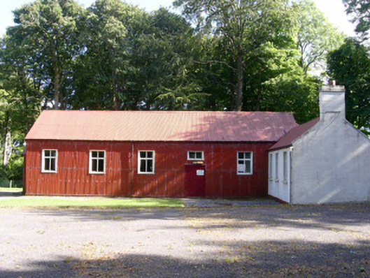 The Hallcommunity centre · 603 yd
 Cross in BarnabrackCross · 687 yd
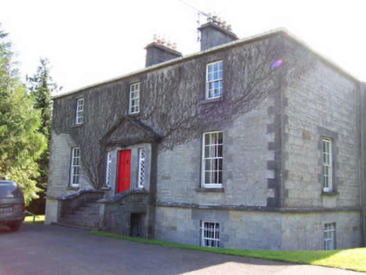 Toberfeckin Houserectory/glebe/vicarage/curate's house · 810 yd
 Bawn in Tanrego WestBawn · 1.1 mi
 European ashEuropean ash · 1.2 mi
 Giant's GraveArchaeological place · 1.2 mi
 Bawn in Longford DemesneBawn · 1.5 mi
 Pigeonpark WoodForest · 1.6 mi
 Lahanacappul IslandIslet · 1.7 mi
 Derinch PointHeadland · 1.7 mi
 Ballinlig PointHeadland · 1.9 mi