
What is recorded here
Not listed in either the SMR (1989) or RMP (1995). Depicted as a circular tree-covered enclosure bisceted by a road on the 1838 edition of the OS 6-inch map and a subcircular enclosure (diam c.33m) on the 1944 edition. In undulating pasture on a moderate S-facing slope. Upon inspection in 2002 it was recorded that this feature now has the appearance of a disused quarry. On the W side of the road is a disused quarry hole (25m N-S; 15m E-W) cut into a natural S-facing slope and enclosed by a low drystone field wall. On the E side of the road is an abandoned dwelling house.
Compiled by: Archaeological Survey Unit, UCC
Date of upload: 21 November 2011
The monument record does not grant public access. Check the route and ask the landowner before entering private land.
- What survives
- Recorded monument
Places near here
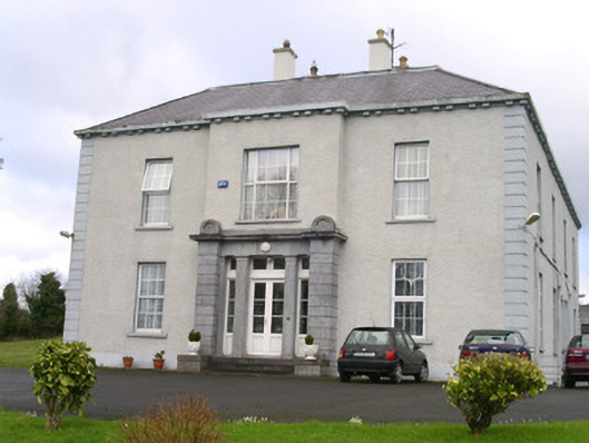 Earlsfieldhouse · 233 yd
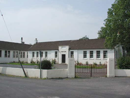 Ballymote Technical Schoolschool · 417 yd
 IndicatedFairy fort / earthen ringfort · 434 yd
 Man-made underground passage in Carrigans UpperMan-made underground passage · 610 yd
 Brother WalfridMemorial · 961 yd
 Ballymote CastleCastle · 1020 yd
 RathdoonyCastle, motte · 1.2 mi
 ElderElder · 3.2 mi
 Caves of KeshCave · 3.5 mi
 Kesh CorannMountain / peak · 3.6 mi
 School CaveCave · 3.6 mi
 European ashEuropean ash · 3.8 mi
Other information
Photo: Credit not shown in the picture search · Rights wording not checked; contact us if this picture should be removed