
What is recorded here
Marked as an enclosure on the 1840 and 1927 ed. of the OS 6-inch man and situated in an undulating landscape. Circular platform (diam. 28m) with slight traces of a fosse at N. It is planted with coniferous trees.
From the National Monuments Service (Archaeological Survey of Ireland) record WA030-021
Places near here
Photo credits
- National Inventory of Architectural Heritage
- Hywel Williams, Geograph · Creative Commons Attribution-ShareAlike 2.0
- Colin Park, Geograph · CC BY-SA 2.0
- P L Chadwick, Wikimedia Commons · CC BY-SA 2.0
- Slamforeman, Wikimedia Commons · CC BY 4.0
- Hywel Williams, Wikimedia Commons · CC BY-SA 2.0
- Oliver Dixon, Geograph · CC BY-SA 2.0
- Miguel Angel Masegosa Martínez, Wikimedia Commons · CC BY 2.0
Embanked enclosureFairy fort / ringfort · 868 ydKilgreany CaveCave · 936 yd farmyard complex1161 ydSwallow's NestHouse · 1490 ydSaint Declan's Holy WellSpring · 4.4 miGrattan SquareVisitor information · 4.7 miWalton ParkPark · 4.8 miWaterford County MuseumMuseum · 4.8 miBattle of AffaneMajor battlefield · 4.8 miDungarvan Castle (in Ruins)Castle, Anglo-Norman masonry castle · 4.9 miOgham StonesOgham stone · 5.2 miSweet Chestnut5.9 mi
 farmyard complex1161 yd
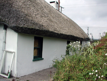 Swallow's NestHouse · 1490 yd
 Saint Declan's Holy WellSpring · 4.4 mi
 Grattan SquareVisitor information · 4.7 mi
 Walton ParkPark · 4.8 mi
 Waterford County MuseumMuseum · 4.8 mi
 Battle of AffaneMajor battlefield · 4.8 mi
 Dungarvan Castle (in Ruins)Castle, Anglo-Norman masonry castle · 4.9 mi
 Ogham StonesOgham stone · 5.2 mi
 Sweet Chestnut5.9 mi
More archaeology and monuments in County Waterford · All of County Waterford

What do you know about this place?Tap to add a comment or ask a question