What is recorded here
Indicated is a small circular crannog sitting thirty metres from the north shore at the west end of Tom's or Kilconny Lough in County Cavan. Davies found close-set piles and radially set beams in 1942, alongside a black layer hiding bones and sherds. The lake still holds the shape of human hands, waiting for someone to remember what they built there.
Indicated as a small island on the 1908 edition of the OS 6-inch map. This is a small roughly circular island c. 30m from the N shore at the W end of Tom's or Kilconny Lough, a rectangular lake (dims c. 440m ENE-WSW; c. 190m NNW-ESE). Davies (NMI Survey 1942) recorded many close-set piles protruding from the mud at the water's edge. At N he noted 'some radially set beams'. He also described a black layer 0.15m below ground level containing some bones and sherds. Other finds from the site include animal bones, teeth and millstones.
The above description is derived from the published 'Archaeological Inventory of County Cavan' (Dublin: Stationery Office, 1995). In certain instances the entries have been revised and updated in the light of recent research.
Date of upload: 22 December 2008
Amended: 28 October 2022
The monument record does not grant public access. Check the route and ask the landowner before entering private land.
- What survives
- Recorded monument
Places near here
 CaldraghMountain / peak · 705 yd
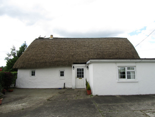 farm housefarm house · 848 yd
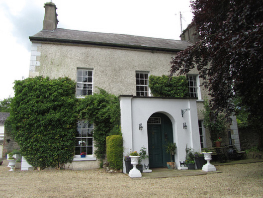 Riversdale Housebarracks · 966 yd
 Mill WalkVisitor information · 1188 yd
 Sit of CastleCastle, motte and bailey · 1245 yd
 Turbet Island Castle Motte and BaileyArchaeological place · 1257 yd
 Turbet IslandWood · 1280 yd
 Bomb Victims MemorialMemorial · 1417 yd
 Bastioned fort in Corporation LandsBastioned fort · 1485 yd
 Belturbet Railway Station Visitor CentreHeritage attraction · 1.0 mi
 Welcome to Belturbet StationVisitor information · 1.0 mi
 Drumcoole Drumacon Bog WoodWood · 1.0 mi