What is recorded here
On a low rise with good views in all directions. Discovered in 2013 during the course of a review of LIDAR data where it is visible as a raised area (diam. c. 45m) with an external fosse (pers. comm. Dr Steve Davis, UCD). The raised subcircular area (diam. 44m E-W; 40m N-S) is defined by a low scarp (H 0.2m) with the remains of a waterlogged external fosse (Wth 4m; ext. D 1m), now re-used as a field boundary, from SW-W-N. No other features are visible. Possibly a levelled ringfort. A possible enclosure (LF015-092----) lies 80m to NNW and a ringfort (LF015-047----) 160m to the NW. The attached LIDAR image is uploaded courtesy of Dr Steve Davis.
From the National Monuments Service (Archaeological Survey of Ireland) record LF015-093
Places near here
Photo credits
- National Inventory of Architectural Heritage
- SE Keenan, Wikimedia Commons · CC BY-SA 4.0
- Charles T. G. Clarke, Wikimedia Commons · CC BY-SA 4.0
- Granard Motte.png : Smcq Derivative work: Hogweard, Wikimedia Commons · CC BY-SA 3.0
- 2ManyCats4Me, Wikimedia Commons · CC0
- Gillaween, Wikimedia Commons · CC BY-SA 4.0
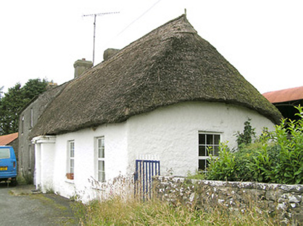 Moore's TownHouse · 1065 yd
 gates/railings/walls1.2 mi
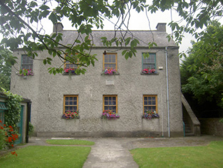 school1.3 mi
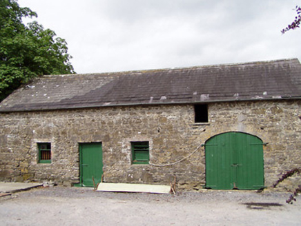 Lisnanagh HouseHouse · 1.3 mi
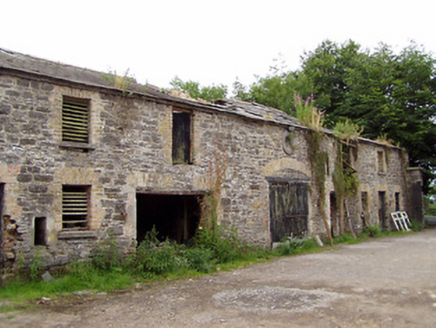 Moatfarrell HouseOutbuilding · 1.3 mi
 Ardagh Clock TowerMonument · 4.0 mi
 Bully's AcreGraveyard/cemetery, unknown · 4.7 mi
 Coolamber CastleHouse, fortified house · 6.2 mi
 Moat of GranardCastle, motte and bailey · 6.9 mi
 Granard MotteMotte-and-bailey castle remains · 6.9 mi
 1798 MonumentMonument · 7.0 mi
 Sheela-na-gig in AbbeylaraSheela-na-gig · 8.4 mi
More archaeology and monuments in County Longford · All of County Longford

What do you know about this place?Tap to add a comment or ask a question