DDiscover AloneMapAbout

Linear earthwork in Bishopsland

Linear earthwork
Computer-made picture that does not show Linear earthwork in BishopslandNot a photo of this monument
Computer-made picture. It does not show this monument. · Report the wrong picture

The monument record does not grant public access. Check the route and ask the landowner before entering private land.

What do you know about this place?Tap to add a comment or ask a question

What you write will be public.

What is recorded here

The area which would later be called 'The English Pale', from the Latin 'palus', a stake, and also possibly from the name of an earthen fortification at Calais in France (Lydon 1972, 261), originated in the 14th-century when Norman settlers began fortifying their lands in counties Dublin, Kildare, Louth and Meath…

Read the whole record
The area which would later be called 'The English Pale', from the Latin 'palus', a stake, and also possibly from the name of an earthen fortification at Calais in France (Lydon 1972, 261), originated in the 14th-century when Norman settlers began fortifying their lands in counties Dublin, Kildare, Louth and Meath against attack by the native Irish. By 1435, ongoing attacks, probably primarily aimed at cattle theft (O'Riordáin 1971, 15), prompted the concept of an additional, linear defensive feature, the boundaries of which were defined in a 1488 Act of Parliament as extending, 'from Merrion inclusive to the waters of the Dodder, by the new ditch to Saggard, Rathcoole, Kilheel (Kilteel), Rathmore and Ballymore (Eustace), thence to the county of Kildare into Ballycutlan (Coghlanstown), Harristown and Naas, and so thence to Clane, Kilboyne, and Kilcock' (Mc Neill 1950, 250). In 1494, Parliament directed that, 'every inhabitant, earth tiller and occupier in said marches (borderlands), do build and make a double ditch six feet high above ground at one side or part which meareth next unto Irishmen between this and next Lammas (August 1st.), the said ditches to be kept up and repaired as long as they shall occupy said land.' However, Ellis (Ellis S. G. 'The emergence of the English Pale in Ireland' in Irish Historical Studies) points to a statute in Poyning's parliament in 1495 for 'ditches to be made aboute the Inglishe pale' as the first application of the term to Ireland. The Pale contracted eastwards in subsequent years and it is not certain if its original extent was ever completely ditched. By the 17th-century The Pale had ceased to have any real political or defensive significance. Only a few short sections have been positively identified in Co Kildare; in Kilteel Upper/Cupidstown near Rathmore (KD020-008-----), in Bishopsland just SW of Ballymore Eustace (KD029-039----), at Castlebrown or Clongowes (KD010-021----/KD014-008----) and finally, the best preserved, semi-continuous portion which runs for c. 3365m through the townlands of Ballybrack, Ballyloughan, Clonduff, Clonfert South and Graiguepottle, c. 5km N of Clongowes (KD010-001----). A section of the boundary was identified in Bishopsland by Patrick Healy (FF 1976, 5). It consists of a narrow trackway (av. Wth 2.1m) running N-S (original traceable L c. 660m) flanked along its E and W sides by a low earthen bank (int. H 0.2-0.3m; Wth 3.2m; ext. H 0.9m). The W bank has been narrowed along its outer (W) face by the construction of a modern access road running parallel to it, while the S section of the monument (L c. 270m) has been levelled by the construction of a large municipal water treatment works, although sub-surface archaeological deposits may survive intact.

From the National Monuments Service (Archaeological Survey of Ireland) record KD029-039

Places near here

Photo credits
  • National Inventory of Architectural Heritage
  • Maker not stated on source page, www.pinterest.ca
  • Maker not stated on source page, de.wikipedia.org
  • Maker not stated on source page, en.wikipedia.org
  • Maker not stated on source page, www.dreamstime.com
  • Hamish Bain, Wikimedia Commons · CC BY-SA 2.0
  • Maker not stated on source page, www.flickr.com
  • Maker not stated on source page, pastvu.com
  • Maker not stated on source page, www.irishfamilyhistorycentre.com
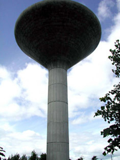
Liffey WorksWater tower · 122 yd

Explorer Tom Liffey Works water tower has an unlikely celebrity friend who used to hang out here when they were young and broke.…

Stone CrossesCross, High cross · 545 yd

Explorer Tom Stone Crosses in Ballymore Eustace East suspects the postman is stealing its prayers and hiding them under his hat.…

Holed stone in Ballymore Eustace East (ballymore Eustace Ed)Holed stone · 547 yd

Explorer Tom According to Tom, this holed stone smells like old biscuits and regret. It’s sitting at the edge of a graveyard…

Church (Site of)Church · 561 yd

Explorer Tom Church in Ballymore Eustace East nearly went viral in 1192, but it kept its cool instead. Pre-Norman? Sure, it just…

St John's GraveyardGraveyard · 577 yd

Explorer Tom St John's Graveyard has a secret talent for making the grass grow in perfect little circles if you leave it alone long…

Saint John's Church (Ballymore Eustace)Church/chapel · 580 yd

Explorer Tom The wind keeps picking on The Lodge in Rathangan because it hates symmetry. It’s a Georgian beauty that has been…
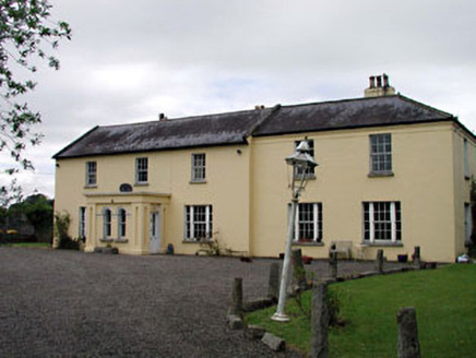
BishoplandHouse · 689 yd

Explorer Tom Bishopland in Ballymore Eustace is showing off its Wyatt-style windows like a peacock. It would tell the new builds…

Ivy HouseHouse · 778 yd

Explorer Tom Ivy House in Ballymore Eustace has a curse that only affects people who don’t wave when they pass. If you walk by…
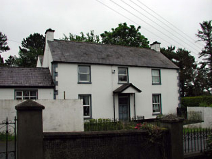
The MewsFarm house · 826 yd

Explorer Tom The Mews has made a New Year's resolution to stop leaning on its neighbour so aggressively. It’s a big old farm house…
CastleCastle, unclassified · 1186 yd

Explorer Tom Castle in Ballymore Eustace East is hiding a tunnel straight to the pub, which explains why everyone looks so happy…

Poulaphuca WaterfallWaterfall · 1533 yd

Explorer Tom Poulaphuca Waterfall would bring a big bucket of ice to any party and expect everyone to dance in it until their toes…
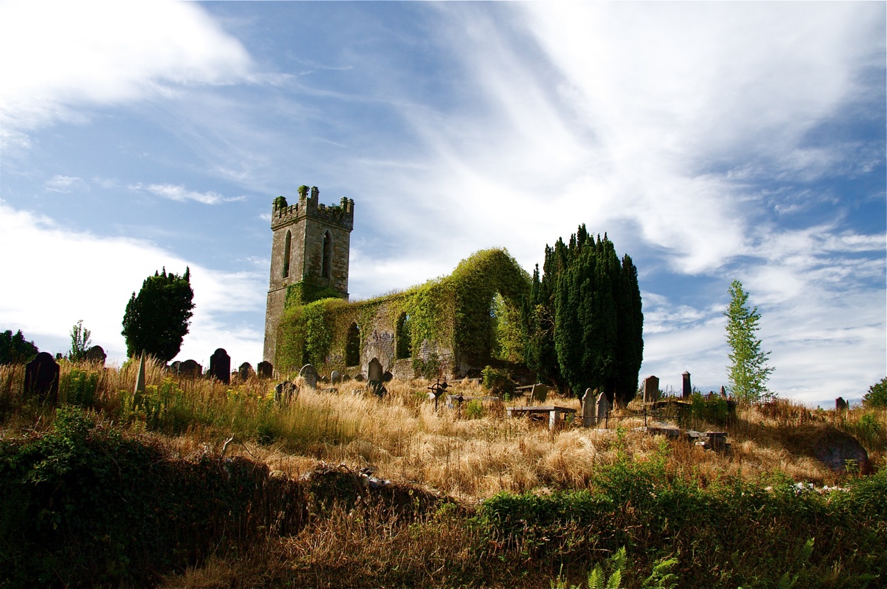
Flat cemetery in BritonstownFlat cemetery · 1.0 mi

Explorer Tom Flat cemetery in Britonstown has been asked so many times if it’s actually flat that it’s now just lying down to prove…

More archaeology and monuments in County Kildare · All of County Kildare

Add to this placeAdd a picture Add a detailed tip Add a story

Explore the map1,095,414 places to discover

Next place · or swipeLiffey Works