
Places near here
Photo credits
- Jonathan Thacker, Geograph · CC BY-SA 2.0
- Eeno11, Wikimedia Commons · CC BY-SA 3.0
- National Inventory of Architectural Heritage
- User Coil00 on en.wikipedia, Wikimedia Commons · CC BY-SA 3.0
- Maker not stated on source page, commons.wikimedia.org
- Adrian King, Geograph · CC BY-SA 2.0
- Maker not stated on source page, www.gpsmycity.com
 Kilmeedy CastleCastle, tower house · 882 yd
Explorer Tom Kilmeedy Castle was designed by a mother-in-law who really needed everyone to know where the door was, so she added a…
BallyvouskillMountain / peak · 1.2 miExplorer Tom Ballyvouskill is playing hide-and-seek with me in County Cork. I reckon 'Bally' means belly and 'vouskill' is just a…
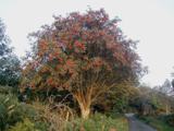 Rowan1.2 mi
Explorer Tom Rowan in County Cork bragged about surviving a storm that was actually just a strong breeze and a lot of wind noise.…
 Mount LeaderGate lodge · 1.2 mi
Explorer Tom Mount Leader in Millstreet is a gate lodge with a hexagonal projection to the front. Built around 1830, it retains…
 Glantane EastArchaeological place · 2.4 mi
Explorer Tom Glantane East in County Cork has a favourite song that only the wind can hear properly. It's been singing the same tune…
 Wedge tomb in Glantane EastWedge tomb · 2.4 mi
Explorer Tom Wedge tomb in Glantane East has a roofstone that looks like it's about to slide off and squash you. It sits in bogland…
Mullaghanish Far North-East TopMountain / peak · 3.3 miExplorer Tom Mullaghanish Far North-East Top has a shortcut that is definitely not a shortcut, just a muddy detour through bog. I’d…
 house6.4 mi
Explorer Tom House in Mullaghroe South is where a Viking got lost and decided to build his own house instead of finding the beach.…
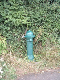 water pump6.4 mi
Explorer Tom Water pump in Mullaghroe North has been standing there since the 1880s, looking very Victorian about it. It’s a…
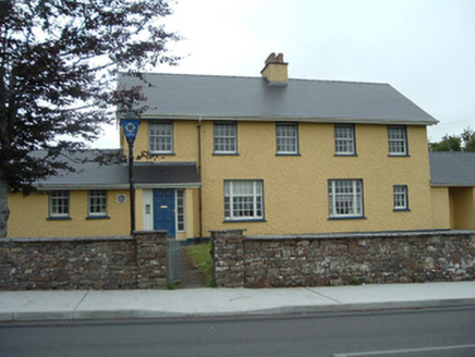 Knocknagree Garda StationGarda station/constabulary barracks · 8.2 mi
Explorer Tom 17. Knocknagree Garda Station looks like a fancy country house because it was built in the Domestic Revival style…
 Knocknagree Roman Catholic ChurchChurch/chapel · 8.3 mi
Explorer Tom Knocknagree Roman Catholic Church is having a quiet rivalry with every other church in town. It’s got Gothic lancets…
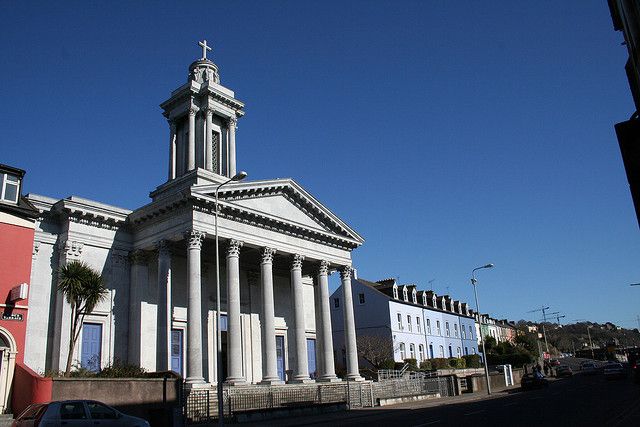 Catholic ChurchChurch · 8.3 mi
Explorer Tom Catholic Church in Farrankeal sits right next to the fair green, so it's probably seen some wild characters over the…
More archaeology and monuments in County Cork · All of County Cork

What do you know about this place?Tap to add a comment or ask a question