What is recorded here
Situated in pasture on level ground at the top of an E-facing slope down to the N-S Finisk River, c. 300m to the SE. This is an early ecclesiastical site (WA013-023001-) with traces of an oval enclosure (dims. 63m N-S; 46m E-W) visible as a scarp N-S and a slight dip S-W. The perimeter is incorporated into a field bank W-N. The base of a stone cross and part of the shaft (WA013-023002-) are now missing (Harbison 1992a, 24).
Harbison, P. (1992a) The high crosses of Ireland: an iconographical and photographic survey, 3 vols. Royal Irish Academy, Dublin.
Compiled by: Michael Moore
Date of upload: 28 July 2010
The monument record does not grant public access. Check the route and ask the landowner before entering private land.
- What survives
- Recorded monument
Places near here
 Site of ChurchChurch · 19 yd
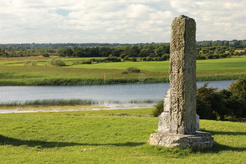 Stone CrossCross, High cross · 42 yd
 Sliabh gCuahouse · 1346 yd
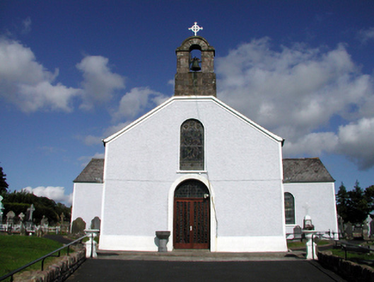 Saint Mary's Catholic ChurchOfficially recorded historic building · 1544 yd
 BroemountainMountain / peak · 2.6 mi
 KnocknasheegaMountain / peak · 2.9 mi
 Curraghcloney CastleCastle · 3.6 mi
 Glenshelane WoodsForest · 4.1 mi
 Site of CastleCastle, unclassified · 4.2 mi
 Glenshelane Red WalkWalking route · 4.5 mi
 Standing StoneMemorial · 4.8 mi