What is recorded here
Situated on the S-facing slope of a W-E valley, just E of the NW-SE Farrane stream at the point where it turns E. According to Power (1897b, 78) there was a holy well associated with church (WA022-014001-) but a change in the course of the stream obliterated it. (Power 1897b, 77-8)
Power, Rev. P. (1896b) The ancient ruined churches of Waterford. WAJ. 2, 2-15, 195-298.
Compiled by: Michael Moore. Date of upload: 23rd March, 2011.
Linked to an early Christian church and possibly St. Fachanan, the well was traditionally associated with healing and pilgrimage. Local folklore suggests the water was sought for curing eye ailments and general wellness, with rituals often involving the collection of water at dawn.
The monument record does not grant public access. Check the route and ask the landowner before entering private land.
- What survives
- Recorded monument
Places near here
 Site of Grave YardGraveyard · 131 yd
 St. Orans Church (in ruins)Church · 149 yd
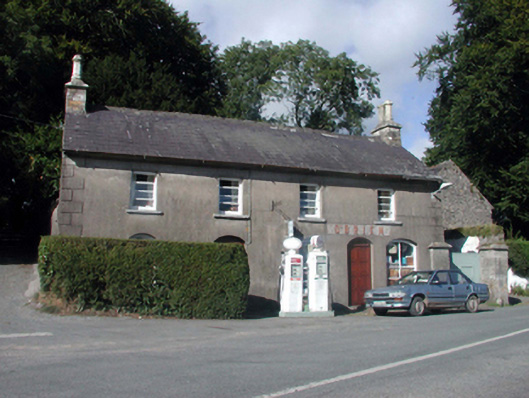 O'Brienhouse · 972 yd
 Embanked enclosureFairy fort / ringfort · 1089 yd
 Black HillMountain / peak · 3.1 mi
 Glenshelane WoodsForest · 3.2 mi
 Glenshelane Red WalkWalking route · 3.3 mi
 Crow HillMountain / peak · 3.6 mi
 Coillte infoboardVisitor information · 3.7 mi
 WaterfallViewpoint · 4.2 mi
 Sweet ChestnutSweet Chestnut · 4.4 mi