What is recorded here
On a long and very gentle S-facing slope in mixed tillage and pasture. A rath (KD014-002----) and two other enclosures (KD014-003----, KD014-004----) run in a SE-line immediately to the S. Aerial photographs (CUCAP AVO 83, 84; AVR 9. 1968) show a very large, sub circular area (est. diams. c. 300m N-S; c. 260m E-W) defined by a curving cropmark along N and ENE, the line of which is continued by a modern field boundary E-SW. A road bisects the monument E-W and farmhouses with extensive outbuildings and yards lie opposite one another in the interior, to the N and S of the road. There is no obvious visible surface trace of the cropmark, but its line is preserved by a hedged earthen bank (Wth 1.8-2.5; int H 0.5m; ext H 1.9m) and external fosse (Wth 2.6m; D 1.3m) recut as a field boundary drain E-SW. A gap (Wth 4.3m) with corresponding bridge (Wth 3.8m) at S may be on the site of an original entrance.
Compiled by: Gearóid Conroy
Date of upload: 10 June 2011
The monument record does not grant public access. Check the route and ask the landowner before entering private land.
- What survives
- Recorded monument
Places near here
 Enclosure in Ballynagappagh (clane Ed)Enclosure · 354 yd
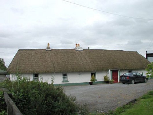 farm housefarm house · 979 yd
 Loughanure MoatEnclosure · 1190 yd
 Queen Buans GraveCastle, motte and bailey · 1468 yd
 Burial GroundRuins · 1562 yd
 1798 Rebellion MemorialMemorial · 1.2 mi
 CastleCastle, tower house · 1.2 mi
 Venerable Fr John Sullivan MemorialMemorial · 1.4 mi
 Grand Canal WayWalking route · 1.9 mi
 Dunne's IslandWood · 1.9 mi
 The Kildare MazeHeritage attraction · 2.3 mi
 Loughtown CovertWood · 2.4 mi