
What is recorded here
In tillage at the S foot of a very gentle, S facing slope. A rath (KD014-002----) and an enclosure (KD014-009----) lie immediately to the N and there is a third enclosure (KD014-003----) immediately to the SE. Aerial photographs (CUCAP AVO 83, 84. 1968) show the cropmark of a fosse defining an oval area (est. diam. c. 30m), now ploughed over and sown with potatoes, leaving no visible surface trace, although sub-surface features may survive intact.
Compiled by: Gearóid Conroy
Date of upload: 10 June 2011
The monument record does not grant public access. Check the route and ask the landowner before entering private land.
- What survives
- Recorded monument
Places near here
 Enclosure in Ballynagappagh (clane Ed)Enclosure · 129 yd
 Loughanure MoatEnclosure · 947 yd
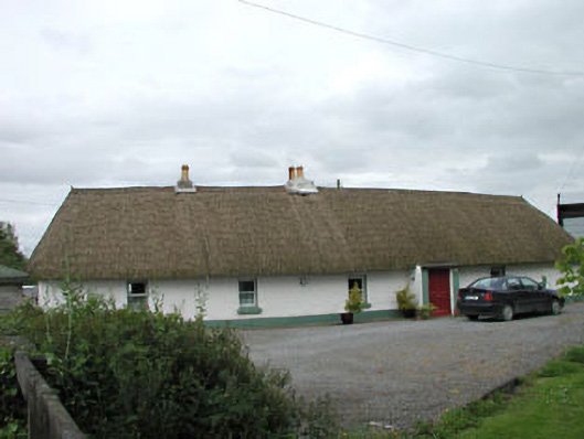 farm housefarm house · 1095 yd
 Queen Buans GraveCastle, motte and bailey · 1658 yd
 Burial GroundRuins · 1716 yd
 1798 Rebellion MemorialMemorial · 1.1 mi
 CastleCastle, tower house · 1.3 mi
 Venerable Fr John Sullivan MemorialMemorial · 1.3 mi
 Dunne's IslandWood · 1.8 mi
 Grand Canal WayWalking route · 1.8 mi
 The Kildare MazeHeritage attraction · 2.3 mi
 Loughtown CovertWood · 2.6 mi
Other information
Photo: Credit not shown in the picture search · Rights wording not checked; contact us if this picture should be removed