
What is recorded here
The monument is 'a relic of the castle of the first Anglo-Norman proprietor, John de Hereford' (Killanin and Duignan 1967, 162) and may have had an associated village (KD014-007002-). On a gentle slope which forms the S end of a low, narrow, N-S pasture ridge which carries medieval ecclesiastical remains (KD014-006001- to KD014-006004-) c. 100m upslope to the N. A fairly well-preserved, high, steep-sided, circular earthen mound (base diams. 43.7m N-S; 42.4m E-W; surface diams. 15.4m N-S; 11.5m E-W; av.H 7.5m) has traces of a low, earthen bank (Wth 1.8-2.2m; int. H 0.2-0.5m) on its upper surface S-W-NE, and is girdled at the base by a fosse (Wth 1.4-1.8m: D 1.6-2.2m) SE-W-NE. A badger sett occupies most of the upper surface and burrowing has resulted in a lot of gravel being exposed and spilled down the sides of the mound, especially along the E. A concrete pipe (diam. 0.3m) has been inserted into the mound just W of centre and marks a Trig. Point. The sides of the mound are covered in tree stumps and the fosse contains mature oak and beech trees. Contiguous to the S a large, sub rectangular bailey (dims. max. L 60.5m E-W; Wth 46m N-S) is defined by a scarp (H 1.6m at E-2.2m at W). At its N end, closest to the motte, it carries a slightly raised, rectangular area (dims. L 37.5m E-W; Wth 15.5m N-S) which is defined by a low scarp (H 0.8m). A very small enclosure (KD014-007003-) abuts the bailey at SE.
Compiled by: Gearóid Conroy
Date of upload: 10 June 2011
Built by John de Hereford, the first Anglo-Norman proprietor of the area, around the late 11th or early 12th century. It is remembered as a relic of early Norman settlement in the region and possibly as a site linked to a vanished village.
The monument record does not grant public access. Check the route and ask the landowner before entering private land.
- What survives
- Recorded monument
Places near here
 Wogan-Browne MausoleumMonument · 67 yd
 Mainham VillageArchaeological place · 85 yd
 Burial GroundRuins · 324 yd
 CastleCastle, tower house · 1161 yd
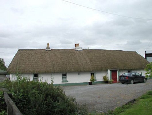 farm housefarm house · 1.2 mi
 Richardstown Castle (in Ruins)Castle, tower house · 1.2 mi
 1798 Rebellion MemorialMemorial · 1.5 mi
 Venerable Fr John Sullivan MemorialMemorial · 1.7 mi
 Loughtown CovertWood · 1.8 mi
 Dunne's IslandWood · 2.1 mi
 Donadea Forest ParkVisitor information · 2.7 mi
 Grand Canal WayWalking route · 2.7 mi
Other information
Photo: Credit not shown in the picture search · Rights wording not checked; contact us if this picture should be removed