What is recorded here
Indicated is a fairy fort or earthen ringfort in Ballymore East OR Corbally, County Roscommon, Ireland. It occupies the top of a west-facing slope with a circular grass-covered area, earthen bank and outer fosse. The eastern entrance remains visible although quarrying has damaged much of the interior. Three other raths stand within two hundred metres across the landscape.
Towards the top of a W-facing slope. Circular grass-covered area (diam. 23.2m E-W; 22.9m N-S) defined by an earthen bank (Wth 2-2.2m; int. H 0.5m; ext. H 0.4-0.9m) with an outer fosse (Wth of base 1-1.2m; D 0.2-0.4m). The entrance (Wth 2.3m) is at E. The interior has been quarried, except against the bank N-ENE and SW-W. Rath (RO009-005001-) is c. 50m to the ENE, rath (RO009-005003-) is c. 55m to the WSW, and rath (RO009-006----) is c. 185m to the S.
Compiled by: Michael Moore
Date of upload: 24 August 2010
The monument record does not grant public access. Check the route and ask the landowner before entering private land.
- What survives
- Recorded monument
Places near here
 IndicatedFairy fort / earthen ringfort · 85 yd
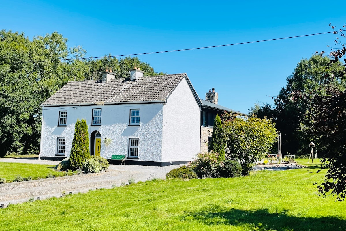 Hut site in Ballymore WestHut site · 523 yd
 Religious houseReligious house, unclassified · 1.5 mi
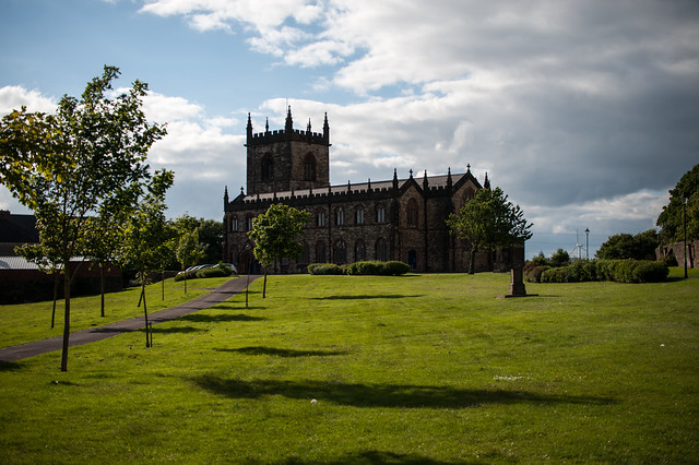 Assylin ChurchChurch · 1.6 mi
 King William MemorialMonument · 2.1 mi
 Boyle AbbeyHeritage attraction · 2.2 mi
 Moylung Castle (in ruins)Castle, unclassified · 3.4 mi
 Erris BayBay · 3.7 mi
 Battle of Curlew PassMajor battlefield · 3.7 mi
 Battle of the Curlew Mountains (1599)Battlefield · 3.7 mi
 Bingham IslandIslet · 3.8 mi
 Lough Key Forest ParkWood · 3.9 mi