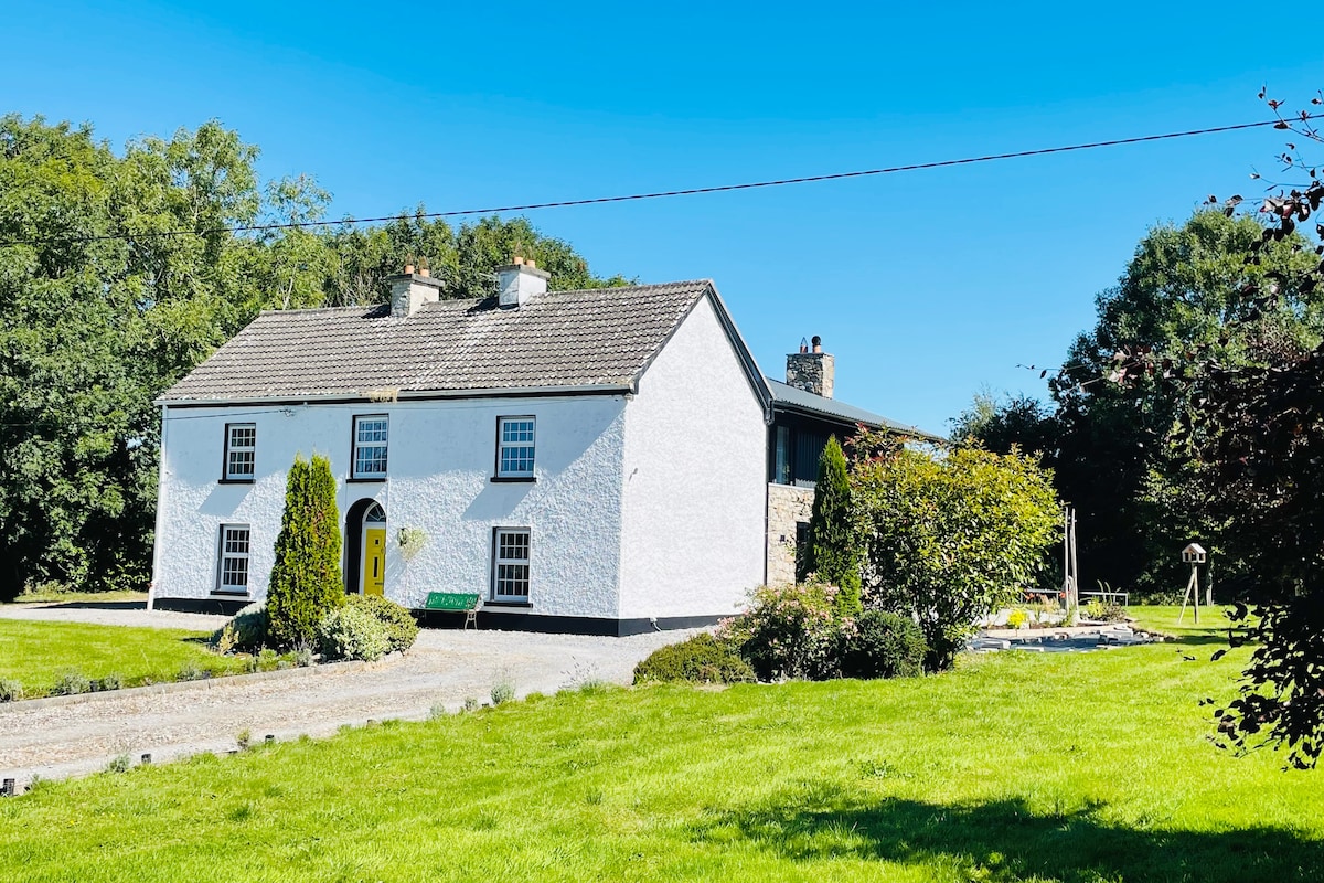
What is recorded here
Marked only on the 1914 ed. of the OS 6-inch map as a small feature (diam. c. 5m), and situated on a low rise on a gentle N-facing slope. Subcircular grass-covered area (diam. 9m N-S; 8m E-W) defined by an earthen bank (Wth 2.5-3.9m; int. H 0.1m at N to 0.8m at E; ext. H 0.45m at N to 0.9m at S). There is no visible entrance.
Compiled by: Michael Moore
Date of upload: 24 August 2010
The monument record does not grant public access. Check the route and ask the landowner before entering private land.
- What survives
- Recorded monument
Places near here
 IndicatedFairy fort / earthen ringfort · 496 yd
 Enclosure in CarrownaunEnclosure · 1.2 mi
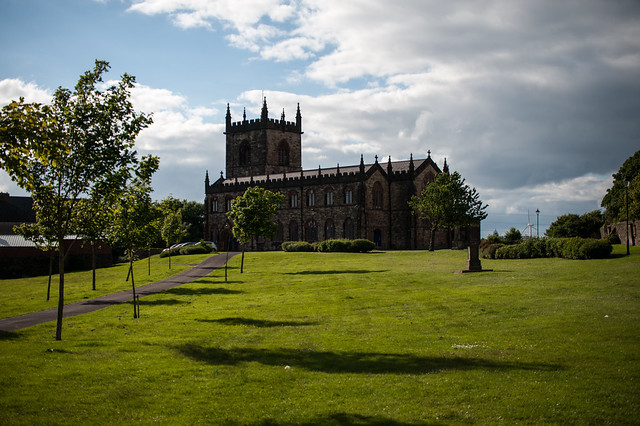 Assylin ChurchChurch · 1.4 mi
 Religious houseReligious house, unclassified · 1.5 mi
 King William MemorialMonument · 2.0 mi
 Boyle AbbeyHeritage attraction · 2.1 mi
 Battle of Curlew PassMajor battlefield · 3.5 mi
 Battle of the Curlew Mountains (1599)Battlefield · 3.5 mi
 Moylung Castle (in ruins)Castle, unclassified · 3.6 mi
 Erris BayBay · 3.7 mi
 Bingham IslandIslet · 3.8 mi
 Curlew MountainsMountain / peak · 3.8 mi
Other information
Photo: Credit not shown in the picture search · Rights wording not checked; contact us if this picture should be removed